What is recorded here
No one knows when the passage was cut or who breathed inside it. The rath has lost its south edge and even its cave has vanished from sight, leaving only a grassy rise and a field wall draped across what remained of the outer bank. Whatever was hidden there has been hidden again, not by men but by time.
On a rise in grassland. Poorly preserved subcircular rath (N-S 27.5m, E-W 24m) defined by two banks and an intervening fosse, no visible surface trace of which survives at S. The outer bank survives from N through E to SE and is overlain by a field wall. According to local information, there is a 'cave' (possible Man-made underground passage) within the interior, no visible surface trace of which survives.
The above description is derived from the published 'Archaeological Inventory of County Galway Vol. II - North Galway'. Compiled by Olive Alcock, Kathy de hÓra and Paul Gosling (Dublin: Stationery Office, 1999).
Date of upload: 05 August 2010
The monument record does not grant public access. Check the route and ask the landowner before entering private land.
- What survives
- Recorded monument
Places near here
 Enclosure in LisleaEnclosure · 531 yd
 Enclosure in Lurgan (kilconnell By.)Enclosure · 990 yd
 Religious houseReligious house, Carmelite friars · 1361 yd
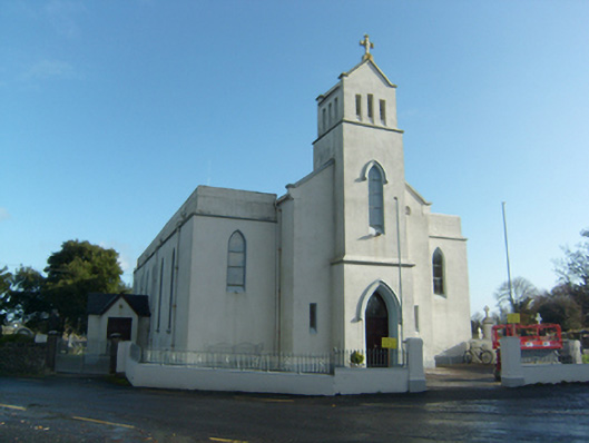 Saint Solan's Catholic Churchchurch/chapel · 1374 yd
 Clonbrock CastleCastle, tower house · 2.2 mi
 Castle (in ruins)Castle, unclassified · 2.3 mi
 Sweet ChestnutSweet Chestnut · 2.3 mi
 SycamoreSycamore · 2.6 mi
 Ballinlass Eviction MemorialMemorial · 4.9 mi
 Kilconnell AbbeyHeritage attraction · 6.9 mi
 Mount MaryMountain / peak · 9.5 mi
 Battle of Aughrim Interpretative CentreMuseum · 9.8 mi