What is recorded here
Corweelis rath still stands in County Cavan, but its deepest chamber has vanished beneath soil and time. An L-shaped depression near the western edge hints that people dug downward, perhaps to hide, meditate or preserve what rain and invasion could take. The passage may have swallowed its own makers, leaving only a shadow of angles for later feet to stumble across.
At Lisderg or Corweelis rath (CV018-008001-). An L-shaped depression within the interior and close to the perimeter at W may represent the site of a Man-made underground passage.
The above description is derived from the published 'Archaeological Inventory of County Cavan' (Dublin: Stationery Office, 1995). In certain instances the entries have been revised and updated in the light of recent research.
Date of upload/revision: 22 December 2008
The monument record does not grant public access. Check the route and ask the landowner before entering private land.
- What survives
- Recorded monument
Places near here
 Giant GraveCourt tomb · 819 yd
 Giant's GraveArchaeological place · 1299 yd
 AghagashlanMountain / peak · 1644 yd
 Annsfort MillsWood · 1.1 mi
 Lisnagoon Bridgebridge · 1.1 mi
 Ann's FortArchaeological place · 1.3 mi
 St Patrick's Roman Catholic Churchchurch/chapel · 1.4 mi
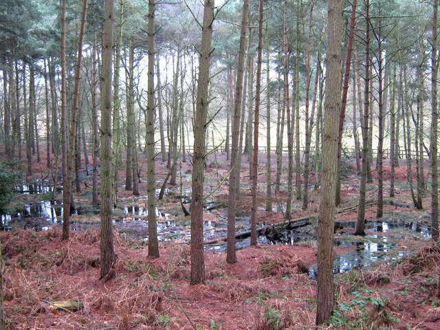 Lisdoagh Wet WoodlandWood · 1.6 mi
 Graveyard in Drumgoon (clankee By.)Graveyard · 1.7 mi
 CastleCastle, unclassified · 3.2 mi
 DrumbinnisMountain / peak · 3.4 mi
 Gull IslandIslet · 5.4 mi