What is recorded here
A circular earthen platform (DG097-002001-) from .2m to 2.85m above the surrounding land is enclosed by an earthen bank up to 1.15m in height. The bank is absent in the NE quadrant where the site has been divided by a field wall. On the SW side of the site there is evidence on the bank for a revetment and possibly for a stone wall built on top of the bank. There is evidence for a well on the exterior slope of the bank on the SSW side. Inside the angle of the field wall in the NE sector is an arc of earthen bank 1.9m in width. The rest of the interior is flat. A report (DHS 1973) of traces of a collapsed Man-made underground passage were not substantiated on this occasion. The site is located on a low hill in undulating topography. The low ground is marshy and the higher a mixture of good and rough grazing land.
The above description was derived from the 'Archaeological Survey of County Donegal. A description of the field antiquities of the County from the Mesolithic Period to the 17th century.' Compiled by: Brian Lacey with Eamon Cody, Claire Cotter, Judy Cuppage, Noel Dunne, Vincent Hurley, Celie O'Rahilly, Paul Walsh and Seán Ó Nualláin (Lifford: Donegal County Council, 1983). In certain instances the entries have been revised and updated.
Date of upload: 22 September 2008
The monument record does not grant public access. Check the route and ask the landowner before entering private land.
- What survives
- Recorded monument
Places near here
 Largynagreana Raised Fairy FortFairy fort / earthen ringfort · 4 yd
 Dermot & Grania's BedArchaeological place · 34 yd
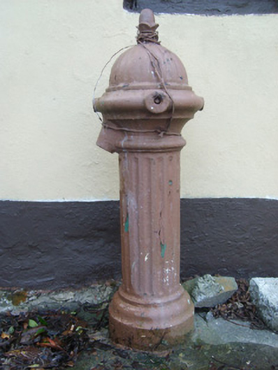 water pumpwater pump · 817 yd
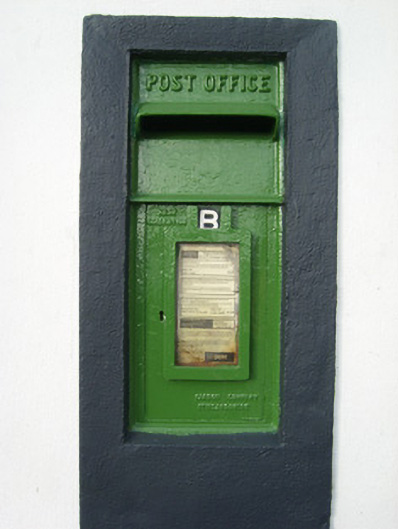 post boxpost box · 870 yd
 Bawn in KillybegsBawn · 1415 yd
 Cat CastleCastle, tower house · 1.1 mi
 FintraOfficial bathing water · 1.5 mi
 Rashenny PointHeadland · 1.6 mi
 European BeechEuropean Beech · 2.0 mi
 Rotten IslandIslet · 2.0 mi
 Carntullagh HeadHeadland · 2.1 mi
 CrownaradMountain / peak · 2.1 mi