What is recorded here
In December 1980, large stone was exposed during field fence removal. Stone was lifted revealing underground chamber running NE-SW c. 0.2m under surface (pers. comm. J.P. McCarthy). No visible surface trace.
The above description is derived from the published 'Archaeological Inventory of County Cork. Volume 3: Mid Cork' (Dublin: Stationery Office, 1997). In certain instances the entries have been revised and updated in the light of recent research.
Date of upload/revision: 14 January 2009
The monument record does not grant public access. Check the route and ask the landowner before entering private land.
- What survives
- Recorded monument
Places near here
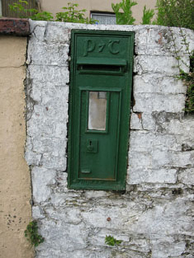 post boxpost box · 805 yd
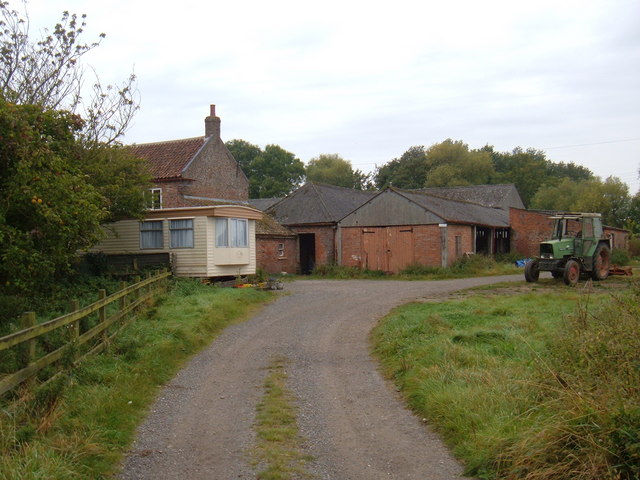 Hornhill BrBridge · 957 yd
 Knockaneirk Stone CircleArchaeological place · 1156 yd
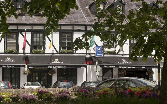 Fulacht FianFulacht fia · 1.0 mi
 Green HillMountain / peak · 1.5 mi
 Kilmurry WoodsPicnic place · 1.6 mi
 Independence MuseumMuseum · 1.8 mi
 Priest MemorialMemorial · 1.8 mi
 Summerhouse WoodForest · 1.9 mi
 Michael Collins MemorialMemorial · 2.1 mi
 Andrew's WoodWood · 2.3 mi
 Castle (Site of)Castle, unclassified · 3.0 mi