What is recorded here
Man-made underground passage in Drumcliff Glebe, drumcliff South is a man-made underground passage in Drumcliff Glebe, drumcliff South, County Sligo, Ireland. J. Allen French described the twelve foot long, five foot high and six foot wide chamber as a box of rough unhewn sandstone with a roof of large stones laid across. He also recorded a carved bone disc, charcoal, animal bones, small iron pieces and a stone with depressions that may have served as moulds.
This record refers to a Man-made underground passage found in the vicinity of Drumcliff in the mid 1800’s. A brief description was published by J. Allen French (1883-4, 483) titled ‘Note on a Souterraine at Drumcliffe, Co. Sligo’. He recorded that ‘It measures twelve feet long [3.65m], five feet high [1.5m], 6 feet in diameter [1.8m], and is composed of rough unhewn sand-stones, without mortar; the roof of large stones laid across.’
Within the Man-made underground passage he found a carved and decorated bone disc, possibly a gaming piece, and he noted ‘a quantity of charcoal lay on the floor, together with bones of marine and land animals’, and ‘minute pieces of iron were mixed with debris; and in one of the stones on the floor there were and a stone with depressions, which may have been used as moulds.’
He states that the Man-made underground passage was ‘on the Strand-road’, but provides no other useful details, bar surmising that ‘when making the road in 1847 the workmen must have come upon the opening.'
The Strand road, which is c. 100m W of the round tower (SL008-084003-), extends S from the N15 to the shoreline of Drumcliff Bay. According to local tradition, the Man-made underground passage was found in a field adjacent to the Church of Ireland rectory (per. comm. Leo Leyden, 2019). This suggests that it may be to W of the Strand road in Drumcliffe Glebe townland. However, there is now no visible trace of the Man-made underground passage, and its exact location remains unknown.
Compiled by: Jane O'Shaughnessy
Date of upload: 12 December 2016
This remains an important historical record, but the official description says the monument is no longer visible or has been destroyed. The monument record does not grant public access. Check the route and ask the landowner before entering private land.
- What survives
- No visible remains or recorded as destroyed
Places near here
 TobernabolgogyHoly well · 222 yd
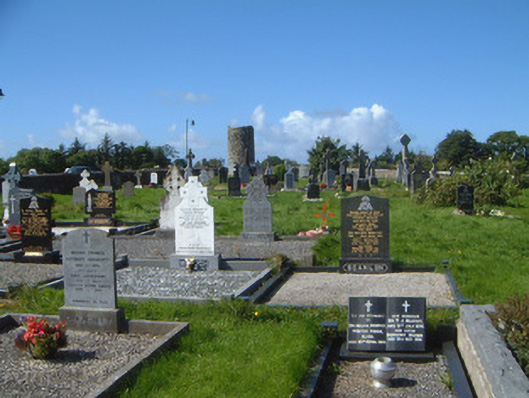 graveyard/cemeterygraveyard/cemetery · 296 yd
 Stone crossCross, High cross · 348 yd
 Saint Columba's Church (Drumcliff)church/chapel · 353 yd
 Drumcliff CemeteryGraveyard · 360 yd
 Grave of WB YeatsHeritage attraction · 361 yd
 CastleCastle, unclassified · 1368 yd
 Castle (in Ruins)Castle, unclassified · 1.4 mi
 Floods WoodForest · 1.7 mi
 Kings MountainMountain / peak · 2.1 mi
 Paddy McGowan's WoodWood · 2.3 mi
 Finned PointHeadland · 2.3 mi