What is recorded here
Dinginavanty rath in County Cavan, Ireland holds a long shallow rectangular depression extending from a break in the south-west bank. The shape suggests people cut or dug an underground passage into the earth long ago. Whether the passage served trade, ritual or flight from storms, that intent has faded. The rath still stands, marking the boundary between human ambition and earthly resistance.
At Dinginavanty rath (CV022-013001-). Extending into the internal area from a break In the bank at SW is a long, shallow, rectangular depression, presumably representing the site of a Man-made underground passage.
The above description is derived from the published 'Archaeological Inventory of County Cavan' (Dublin: Stationery Office, 1995). In certain instances the entries have been revised and updated in the light of recent research.
Date of upload/revision: 22 December 2008
The monument record does not grant public access. Check the route and ask the landowner before entering private land.
- What survives
- Recorded monument
Places near here
 Graveyard in Drumgoon (clankee By.)Graveyard · 696 yd
 Drumgoon Bridgebridge · 938 yd
 IndicatedFairy fort / earthen ringfort · 966 yd
 Scarvy Bridgebridge · 1621 yd
 Cornanurney ForestForest · 1.3 mi
 CornanurneyMountain / peak · 1.6 mi
 CastleCastle, unclassified · 1.9 mi
 Giant GraveCourt tomb · 2.1 mi
 Giants GraveArchaeological place · 2.1 mi
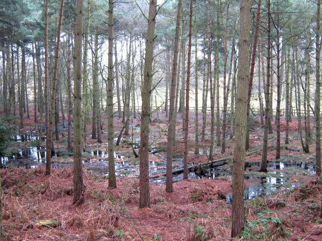 Lisdoagh Wet WoodlandWood · 2.4 mi
 AghagashlanMountain / peak · 2.9 mi
 Site of Old CastleCastle, unclassified · 3.5 mi