
What is recorded here
Man-made underground passage in SE quadrant of ringfort (LI048-034026-) excavated by Ó Ríordáin (1940, 128-132) between 1934-5. Excavation of the interior of ‘Ringfort 2’ uncovered the remains of a Man-made underground passage, described by Ó Ríordáin (1940, 96) as follows; ‘Running from near the centre in a direction slightly south of east was a Man-made underground passage which had a length of a little over 14 feet [4.26m] and an average breadth of somewhat less than 2 feet [0.6m]. The clay at the western end had been cut away so as to slope from the ground surface to the floor of the Man-made underground passage thus forming an approach to the latter. The stones shown at the north-eastern corner of this Man-made underground passage were evidently the remains of a ventilation shaft such as we shall see much better represented in connection with Man-made underground passages in some of the other Ring-Forts.’
See attached plans and photos taken from Ó Ríordáin and Google Earth orthoimages.
Compiled by: Fiona Rooney
Date of upload: 2 September 2021
The monument record does not grant public access. Check the route and ask the landowner before entering private land.
- What survives
- Recorded monument
Places near here
 Cist in CushCist · 93 yd
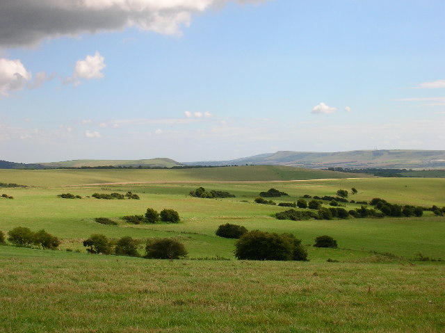 Field system in CushField system · 99 yd
 Quarry in CushQuarry · 165 yd
 Ballinvreena LoopVisitor information · 1153 yd
 Bosnetstown Villahouse · 1214 yd
 SlievereaghMountain / peak · 1.6 mi
 Palatine's RockNamed rock · 1.7 mi
 Castle (in ruins)Castle, tower house · 1.9 mi
 Ballyhoura WayWalking route · 1.9 mi
 Ballyhoura tourist informationVisitor information · 2.0 mi
 Treada Na Ríogh (The Moat), hachuredCastle, motte · 2.0 mi
 Edmund's WellSpring · 2.2 mi
Other information
Photo: Credit not shown in the picture search · Rights wording not checked; contact us if this picture should be removed