What is recorded here
No visible stone, no chamber, no ledge. A long shallow cut branches from the rath centre to its south-west gap, then turns west inside the bank. The ridge hides the shape, but the measurements leave little room for chance. Whoever made it did not build a chamber to be admired. They cut a route through solid ground, perhaps for water, perhaps for passage, perhaps for a warning carried underground. The earth kept the route secret. The numbers still point it back.
Located on the E-facing spine of a WNW-ESE drumlin ridge. From the centre of rath (MO020-014----) a depression (L 14m; Wth 3.9m; D 0.5m) extends S to a gap in the perimeter at SSW with a spur (L 8.4m; Wth 3.9m; D 0.6m) extending W from it just inside the bank. This is possibly a Man-made underground passage, although no stone is visible.
Compiled by: Michael Moore
Date of upload: 22 June 2018
The monument record does not grant public access. Check the route and ask the landowner before entering private land.
- What survives
- Recorded monument
Places near here
 Monaghan WayWalking route · 736 yd
 Fulacht fia in GrigFulacht fia · 1108 yd
 The CrescentMemorial · 1601 yd
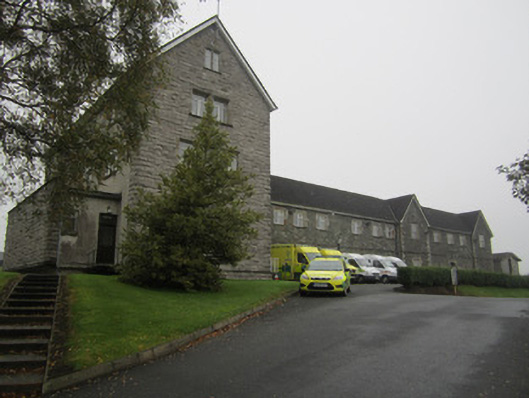 Saint Mary's Hospitalworkhouse · 1.0 mi
 First Castleblayney Presbyterian Churchchurch/chapel · 1.1 mi
 John Francis GreenMemorial · 1.2 mi
 Crannog in MoneyvolanCrannog · 1.4 mi
 Bawn in OnomyBawn · 1.5 mi
 Blaney CastleCastle · 1.5 mi
 Harper's IslandIslet · 2.0 mi
 Garmany's IslandIslet · 2.1 mi
 Lough MucknoLake and park landscape · 2.2 mi