What is recorded here
Killashandra Ed remembers the hidden corridor beneath Cloncose rath, where human hands cut through earth and shadow. That much is clear. Whether the passage still holds its shape, or whether it has collapsed into the shallow depression marked at the surface, is no longer certain. The land has taken back what it can, and memory must fill the gap.
At Cloncose rath (CV014-012001-). The entrance to the rath is at NE. Running W from this to the centre of the internal area is a long, shallow depression (L 28.3m; Wth 2.4m; D 0.3m) which may represent the remains of a collapsed Man-made underground passage.
The above description is derived from the published 'Archaeological Inventory of County Cavan' (Dublin: Stationery Office, 1995). In certain instances the entries have been revised and updated in the light of recent research.
Date of upload/revision: 22 December 2008
The monument record does not grant public access. Check the route and ask the landowner before entering private land.
- What survives
- Recorded monument
Places near here
 Cloncose FortFairy fort / earthen ringfort · 1 yd
 Drumkerril National Schoolschool · 353 yd
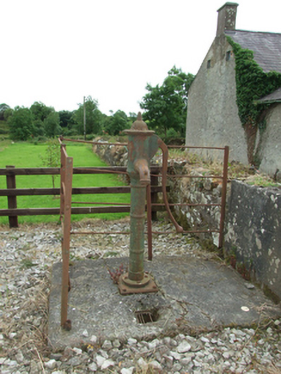 water pumpwater pump · 356 yd
 DerrybrickMountain / peak · 1.1 mi
 TobermogueHoly well · 1.1 mi
 Drumlane AbbeyHeritage attraction · 1.2 mi
 Drumbagh ForestForest · 1.3 mi
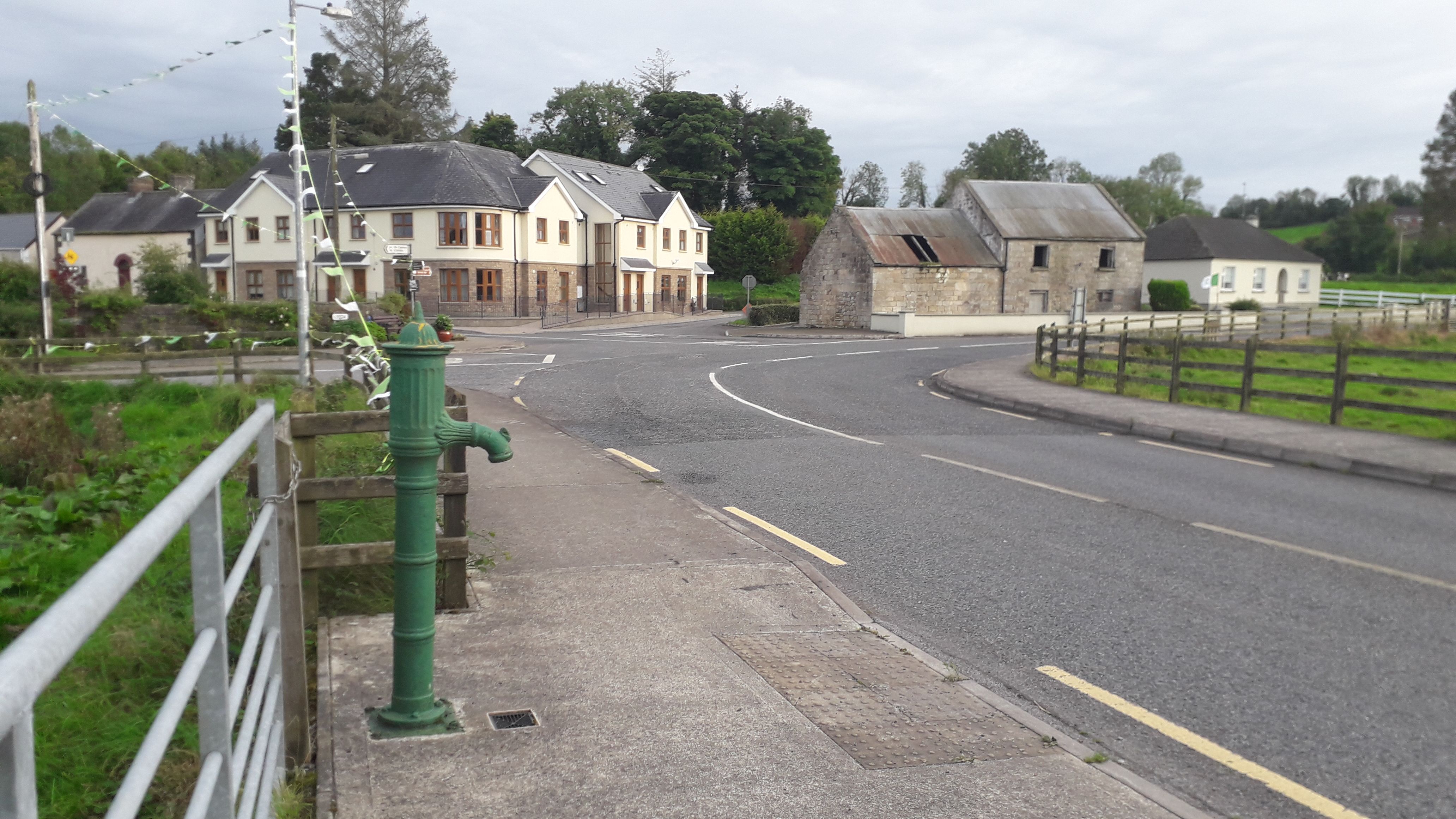 Milltown NorthWood · 1.8 mi
 ArdanMountain / peak · 2.2 mi
 InishmuckIsland · 2.4 mi
 Killeshandra Irish Countrywomen's Association 70th AnniversaryMemorial · 2.5 mi
 Clogh Oughter CastleCastle, Anglo-Norman masonry castle · 2.9 mi