
What is recorded here
Situated on slight rise in gently undulating pasture. Raised roughly circular area (dims. 22m E-W; 21m N-S) enclosed by a low bank of earth (Wth 3.7m; int. H 0.4m). There is no fosse visible at ground level. From W-NW and N-E the bank has been removed and the site is defined by broad gently sloping scarp (ext. H 0.8m). A drystone field wall has been built around the external base of the bank E-SS. The original entrance is not recognisable. The remains of a Man-made underground passage (SL008-074002-) are located under the bank at NE.
Compiled by: Patrick F. O'Donovan
Date of upload: 21 April 2011
This remains an important historical record, but the official description says the monument is no longer visible or has been destroyed. The monument record does not grant public access. Check the route and ask the landowner before entering private land.
- What survives
- No visible remains or recorded as destroyed
Places near here
 Church (in Ruins)Church · 700 yd
 Castle (in Ruins)Castle, unclassified · 736 yd
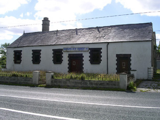 Drumcliffe Co-Operative Creamerycreamery · 1606 yd
 Fulacht fia in BarnarobinFulacht fia · 1633 yd
 Tober PatrickArchaeological place · 1666 yd
 Kings MountainMountain / peak · 1698 yd
 Benbulbin South-East TopMountain / peak · 1.3 mi
 Drumcliff CemeteryGraveyard · 1.3 mi
 Grave of WB YeatsHeritage attraction · 1.3 mi
 CastleCastle, unclassified · 1.6 mi
 Floods WoodForest · 1.7 mi
 BenbulbenMountain · 1.7 mi
Other information
Photo: Credit not shown in the picture search · Rights wording not checked; contact us if this picture should be removed