What is recorded here
In pasture, immediately N of townland boundary with Clovers. Possible Man-made underground passage in the interior of a cliff-edge fort (LI056-015001-) with a standing stone (LI056-015002-) to immediate W. In 1931 the monument was described as; ‘two moats or lisses with Man-made underground passages’ (O’Shaughnessy and Carroll 1931, 69-70). Annotated ‘Man-made underground passage’ on Cassini ed. OSi 6-inch map, not depicted on 1840 ed. OSi 6-inch map or 1897 ed. OSi 25-inch map. No surface remains of levelled monument on Digital Globe orthoimage taken between 2011-2013. Faint trace of D-shaped cropmark of cliff-edge fort on Google Earth orthoimage dated 28/06/2018 but no trace of Man-made underground passage visible.
See attached Google Earth orthoimage
Compiled by: Caimin O’Brien
Date of upload: 2 December 2021
The monument record does not grant public access. Check the route and ask the landowner before entering private land.
- What survives
- Recorded monument
Places near here
 Cliff-edge fort in Ballinlyna LowerCliff-edge fort · 1 yd
 Man-made underground passageMan-made underground passage · 277 yd
 Tuck MillWater mill, unclassified · 1277 yd
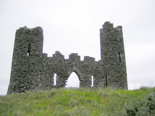 Castle Oliverfolly · 1615 yd
 Treada Na Ríogh (The Moat), hachuredCastle, motte · 1.0 mi
 Ballyhoura tourist informationVisitor information · 1.1 mi
 Castle (in ruins)Castle, tower house · 1.2 mi
 Gooseberry HillMountain / peak · 1.2 mi
 Keale MountainMountain / peak · 1.3 mi
 Palatine's RockNamed rock · 1.8 mi
 Ballyhoura WayWalking route · 1.9 mi
 ToberpatrickSpring · 2.2 mi