What is recorded here
In pasture, on a low elevation in lowlying, flat terrain. A slight rise in ground level blocks views to S, but elsewhere views are good, especially extensive at N−E over a broad sweep of grassland.
The remains consist of a low circular platform (37.6m N−S; 38.8m E−W) defined by a distinct but partly levelled scarp (H 0.8m, Wth slope 6m at N; H 0.5m Wth slope 3.6m at S). A very shallow, poorly defined depression (Wth 3-4m) outside the scarp at E-S may be a fosse. At NE the enclosing scarp has a more pronounced, broadly sloping slump, possibly the site of an original entrance. There is another enclosure (MA119-043----) c. 125m to NE.
Compiled by: Jane O’Shaughnessy
Date of upload: 10 August 2023
The monument record does not grant public access. Check the route and ask the landowner before entering private land.
- What survives
- Recorded monument
Places near here
 IndicatedEnclosure · 737 yd
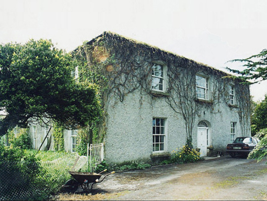 Greaghansfarm house · 915 yd
 Enclosure in DavrosEnclosure · 1.1 mi
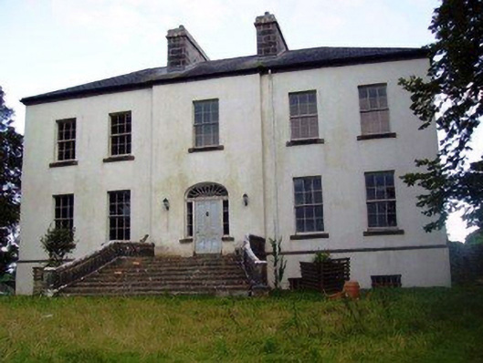 Annefield Housecountry house · 1.2 mi
 Castle in ruinsCastle, unclassified · 1.8 mi
 Killernan CastleCastle · 1.9 mi
 European YewEuropean Yew · 2.3 mi
 SycamoreSycamore · 4.6 mi
 Mass RockNamed rock · 8.0 mi
 Ross Errilly FriaryHeritage attraction · 9.0 mi
 School of FalconryHeritage attraction · 10 mi
 Inis Mhic an TrírIsland · 10 mi