What is recorded here
Counterfort scarps cut through Maghadone soil, marking a boundary or bridge approach from the E.CHRIST.. period. The official record preserves only the shape and region, leaving the builders, traffic and fate of the work unnamed. Whatever the scarps guarded or carried, human hands shaped them and human life moved across them before memory faded.
The official Northern Ireland record identifies this as COUNTERSCARP RATH. Recorded period: E.CHRIST.. The official map point was placed at the centre of the recorded archaeological site from the source map reference.
The monument record does not grant public access. Check the route and ask the landowner before entering private land.
- What survives
- Recorded monument
Places near here
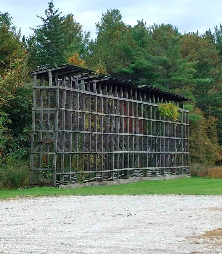 ENCLOSURE in MaghadoneENCLOSURE · 357 yd
 ENCLOSURE in GortagillyENCLOSURE · 770 yd
 Corn StoreStore · 1.3 mi
 Springhill HouseCountry House · 1.3 mi
 Coltrim Picnic ParkPicnic place · 1.9 mi
 Coagh ambushambush · 4.1 mi
 Slieve Gallion NE TopMountain / peak · 4.8 mi
 Slieve GallionMountain / peak · 5.1 mi
 Drummond WoodWood · 6.1 mi
 War MemorialMonument · 6.1 mi
 Sawmill WoodWood · 6.2 mi
 MULTIPERIOD CHURCH & GRAVEYARD: DERRYLORAN CHURCH, DAIRE-LURAIN, DOIRE-LURAIN, DAIRE-LUBRAIN in GlebeMULTIPERIOD CHURCH & GRAVEYARD: DERRYLORAN CHURCH, DAIRE-LURAIN, DOIRE-LURAIN, DAIRE-LUBRAIN · 6.6 mi