What is recorded here
Cairn is a cairn (unclassified) in Lyrenacarriga, County Waterford, Ireland. It occupies a slight north-facing slope on a broad northeast-southwest ridge, about one kilometre southwest of Kilwatermoy Mountain and about 250 metres northeast of a local rise. A Bateman map from 1716 marked the place as a heap of stones near a crossroads, but no structure is visible at ground level today.
Situated on a slight N-facing slope of a broad NE-SW ridge between Kilwatermoy Mountain c. 1km to the NE and a rise c. 250m to the SW. Described as a 'heap of stones' on a Bateman map of 1716, close to a cross-roads. Nothing is visible at ground level.
Compiled by: Michael Moore
Date of upload: 27 September 2011
The monument record does not grant public access. Check the route and ask the landowner before entering private land.
- What survives
- Recorded monument
Places near here
 Burial ground in GlennagloghBurial ground · 1484 yd
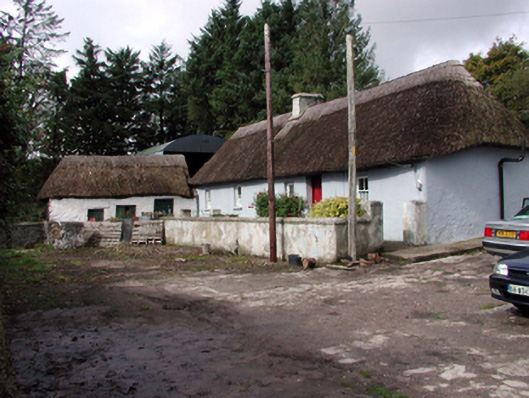 farm housefarm house · 1.3 mi
 Enclosure in Lyre MountainEnclosure · 1.5 mi
 Kilwatermoy Church (in ruins)Church · 1.6 mi
 European ashEuropean ash · 4.3 mi
 Kilnacarriga Castle (in ruins)Castle, unclassified · 4.4 mi
 CastleCastle, unclassified · 4.5 mi
 Molana AbbeyHeritage attraction · 4.5 mi
 Tallow HillMountain / peak · 4.8 mi
 Bishopstown WoodForest · 4.9 mi
 Salt HillMountain / peak · 4.9 mi
 Leahy's Open FarmHeritage attraction · 5.3 mi