What is recorded here
On a fairly level, small terrace on the E side of a valley running N-S with steep wooded valley side immediately to the E and gently sloping reclaimed grassland to the W. There are very good views in all directions, except to the E. A sub-rectangular enclosure (dims. 35m N-S; 32m E-W) defined by a very stoney bank (int. H 0.4m; ext. H c. 1-1.5m; Wth c. 2m). The S and W sides of the enclosure are straight, however, the N and E sides form one continuous curving bank. The bank is missing in the E quadrant, however, here the edge of the monument is defined by being cut into the natural slope (H c. 0.5m) forming a terrace. There are a lot of trees growing in the level interior.
Compiled by: Jean Farrelly
Date of upload: 23 March 2020
The monument record does not grant public access. Check the route and ask the landowner before entering private land.
- What survives
- Recorded monument
Places near here
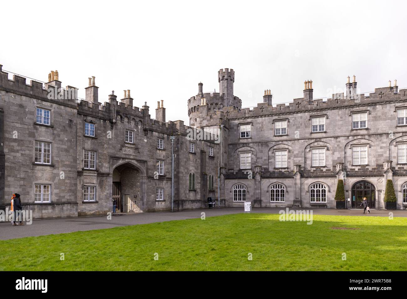 Enclosure in LughinnyEnclosure · 713 yd
 Lughinny Ringort (rath)Archaeological place · 726 yd
 Tubbrid Castle (in ruins)Castle, tower house · 1226 yd
 Kildrinagh WoodForest · 1242 yd
 Church (in ruins)Church · 1465 yd
 CastleCastle, ringwork · 1603 yd
 Church in Killahy (crannagh By.)Church · 1.3 mi
 Clomantagh HillMountain / peak · 2.9 mi
 The CopseWood · 2.9 mi
 Kilcooly AbbeyHeritage attraction · 4.3 mi
 John HelyMemorial · 4.4 mi
 DelaneyMemorial · 4.5 mi