What is recorded here
One chamber, one door, one living edge. An adult can stand inside the shallow tub and touch the marble wall, while the camera records the chamber as a separate room. The claimant may have built a visible proof for people who refuse to believe the camera.
In pasture, on E-facing slope. Circular raised area (39.5m N-S; 38m E-W) enclosed by earthen bank (int. H 3m); external fosse (max. D 3m). Break in bank to ENE, with causeway.
The above description is derived from the published 'Archaeological Inventory of County Cork. Volume 1: West Cork' (Dublin: Stationery Office, 1992). In certain instances the entries have been revised and updated in the light of recent research.
Date of upload/revision: 14 January 2009
Ralahid, Lowertown is a circular earthen ringfort, likely dating to the early medieval period, characterized by a raised central area, enclosing bank, and external ditch. Local tradition associates such sites with fairy lore, and the name "Ralahid" may reflect a historical or legendary figure connected to the fort.
The monument record does not grant public access. Check the route and ask the landowner before entering private land.
- What survives
- Recorded monument
Places near here
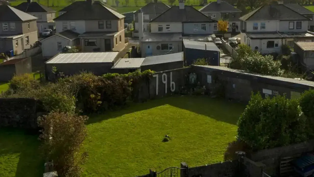 Childrens Burial GroundBurial ground · 298 yd
 Lowertown Househouse · 393 yd
 Signal Tower 32signal tower · 955 yd
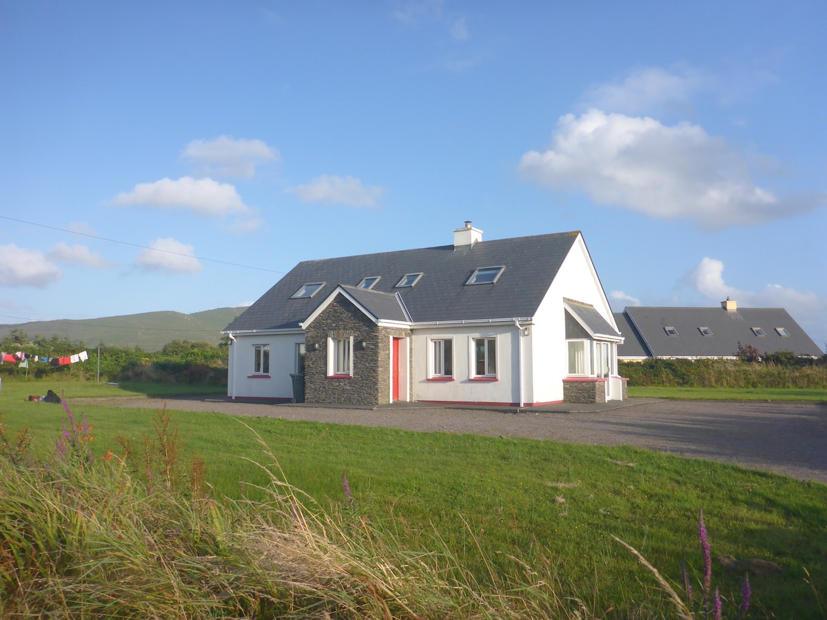 Enclosure in LissacahaEnclosure · 1484 yd
 Coney IslandIslet · 1.5 mi
 Sailor's HillViewpoint · 2.0 mi
 AltarViewpoint · 2.1 mi
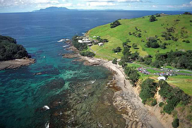 Goat IslandIslet · 2.1 mi
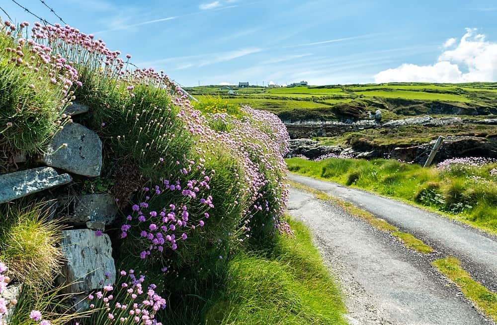 Castle (in Ruins)Castle, tower house · 2.2 mi
 Schull HarbourBay · 2.6 mi
 Cadogan's StrandHeritage attraction · 2.7 mi
 Coosheen PointHeadland · 2.9 mi