What is recorded here
Aerial photograph (GB90.BL.33) shows cropmark of a trackway defined by fosses leading to a potential moated site (LA019-071). First recorded as a positive cropmark in July 1990. Part of an extensive cropmark landscape.
The above report has been compiled by Dr. G.F. Barrett and supplied to the Archaeological Survey of Ireland.
Date of this report: 03 December 2009
Compiled by Caimin O'Brien
Date of upload: 13 August 2010
The monument record does not grant public access. Check the route and ask the landowner before entering private land.
- What survives
- Recorded monument
Places near here
 Enclosure in LoughteeogEnclosure · 230 yd
 Prospect Ho.Castle, unclassified · 605 yd
 Enclosure in RaheenaniskyEnclosure · 793 yd
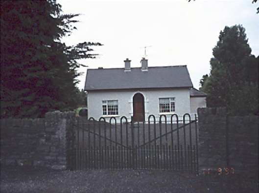 Woodlands Househouse · 1240 yd
 Site of CastleCastle, unclassified · 1382 yd
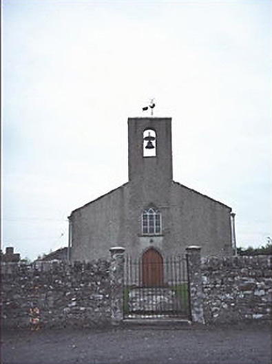 Saint Mogue's Church (Timogue)church/chapel · 1424 yd
 European BeechEuropean Beech · 1.9 mi
 Rock of Dunamase InformationVisitor information · 2.4 mi
 Rock of DunamaseCastle · 2.5 mi
 CEMETERYGraveyard · 2.5 mi
 Oughaval Wood MapVisitor information · 2.6 mi
 Beech Way WalkWalking route · 2.8 mi