What is recorded here
Aerial photograph (GB90.BL.33) shows cropmark of a fosse delimiting a triangular field attached to a potential moated site (LA019-071); a trackway (LA019-072) enters the field from the north-west.
The above report has been compiled by Dr. G.F. Barrett and supplied to the Archaeological Survey of Ireland.
Date of this report: 03 December 2009
Compiled by Caimin O'Brien
Date of upload: 13 August 2010
The monument record does not grant public access. Check the route and ask the landowner before entering private land.
- What survives
- Recorded monument
Places near here
 Enclosure in LoughteeogEnclosure · 145 yd
 Prospect Ho.Castle, unclassified · 683 yd
 Enclosure in RaheenaniskyEnclosure · 890 yd
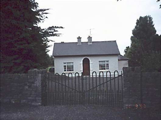 Woodlands Househouse · 1161 yd
 Site of CastleCastle, unclassified · 1299 yd
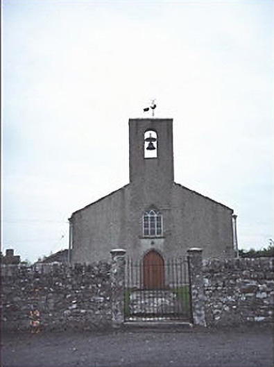 Saint Mogue's Church (Timogue)church/chapel · 1345 yd
 European BeechEuropean Beech · 1.9 mi
 Rock of Dunamase InformationVisitor information · 2.5 mi
 CEMETERYGraveyard · 2.5 mi
 Rock of DunamaseCastle · 2.5 mi
 Oughaval Wood MapVisitor information · 2.6 mi
 Beech Way WalkWalking route · 2.8 mi