What is recorded here
No visible trace of the Loughcurra South ringfort remains, yet the curving field boundary from west to north-northwest still mirrors its lost circular outline. The wall holds many field-clearance boulders, perhaps stones taken from the fort itself or gathered while making the pasture usable. The fort may have given up its shape gradually, losing stones to surrounding walls until only a gentle bend in the ground marked where people once drew a line around their own place.
On the NW-facing slope of a rise in undulating pastureland. Marked on the 1838 edition of the OS 6-inch map as a circular enclosure (diam. c. 25m). Field walls clipped it at SW, W and NE. No visible surface trace survives. However, the curving field boundary from W to NNW may mirror its outline. A lot of field-clearance
boulders have been placed along this wall as well as the wall to the SW of the site.
Compiled by: Galway Archaeological Survey, UCG
Date of upload: 29 July 2019
The monument record does not grant public access. Check the route and ask the landowner before entering private land.
- What survives
- Recorded monument
Places near here
 IndicatedFairy fort / stone ringfort · 348 yd
 farm housefarm house · 560 yd
 CaveMan-made underground passage · 1359 yd
 CastleCastle, tower house · 1.1 mi
 Dungory Castle (in ruins)Castle, tower house · 1.1 mi
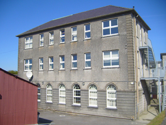 Seamount Collegehouse · 1.2 mi
 Mulroney's IslandIslet · 2.2 mi
 Cusheen IslandIslet · 2.6 mi
 Coole-Garryland Nature ReserveNature reserve · 3.7 mi
 European BeechEuropean Beech · 3.9 mi
 Traught BeachBeach / strand · 4.3 mi
 Grave of Saint Mac Duagh's ServantArchaeological place · 4.5 mi