
What is recorded here
Partially hachured is a fairy fort or earthen ringfort in Loughanstown Lower OR Slievelahan, Windtown North, County Westmeath, Ireland. Situated in grassland with bog approximately 600 metres to the northwest, the site lies 140 metres from a neighbouring ringfort and is bisected by the boundary between Windtown North and Loughanstown Lower or Slievelahan. Annotated as a D-shaped enclosure on the Fair Plan, the originally circular site measured approximately 30 metres in diameter along a north-northeast to south-southwest axis. It has been completely levelled on the east side, while the west side preserves a poorly preserved bank curving from south through north to north-northeast with slight traces of an outer ditch.
Situated in grassland with bog c. 600m to the NW, with other areas of bog c. 900m and 1200m to SW and NE respectively. Ringfort (WM006-004---) 140m to SE. Annotated on the Fair Plan as a D-shaped enclosure, this site is bisected by the townland boundary between Windtown North and Loughanstown Lower or Slievelahan. Originally circular (approx. diam. 30m NNE-SSW), the site has been completely levelled on the E side, though it is possible to trace a portion of the enclosure as a crop-mark. On the W side of the townland boundary are the remains of a poorly preserved bank curving from S-N-NE, with slight traces of an outer ditch.
Compiled by: Frank Coyne & Caimin O'Brien
Date of upload: 20 January 2017
The monument record does not grant public access. Check the route and ask the landowner before entering private land.
- What survives
- Recorded monument
Places near here
 IndicatedFairy fort / earthen ringfort · 269 yd
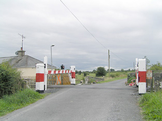 level crossinglevel crossing · 568 yd
 BarrowBarrow, ring-barrow · 733 yd
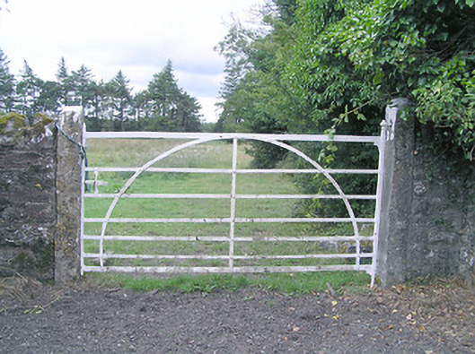 gates/railings/wallsgates/railings/walls · 1083 yd
 Silver FirSilver Fir · 1.1 mi
 CastleCastle, motte · 1.3 mi
 MoatCastle, motte and bailey · 1.9 mi
 Sweet ChestnutSweet Chestnut · 2.2 mi
 Edgeworthstown BypassMemorial · 3.4 mi
 Granard MotteMotte-and-bailey castle remains · 7.3 mi
 1798 Monumentmonument · 7.4 mi
 Bully's Acregraveyard/cemetery, unknown · 8.8 mi
Other information
Photo: Credit not shown in the picture search · Rights wording not checked; contact us if this picture should be removed