What is recorded here
Not a kitchen but a forge of water, where stones drank heat until the lake itself hissed into steam. Two mounds still lie conjoined beneath a metre and a half of green darkness, the larger stretching thirteen metres across an older shoreline now forgotten by the living edge. The smaller hides a rectangular shadow at its heart, perhaps a hearth, perhaps a chamber, perhaps the skeleton of a hut that never learned to leave the water.
Located in the NW sector of Lough Rea on what appears to be an earlier shoreline of the lake at a depth of approximately 1.3m. This possible fulacht fia, the most easterly example of two (see also GA105-228002-), was noted during a survey of the nearby crannog (GA105-197----) c. 120m to the SE. It consists of two conjoined shallow circular mounds, one larger (13m E-W and 9m N-S) than the other. Due to a heavy swell which stirred up sediment it was not possible to measure the smaller one. However, a central rectangular feature was noted within it. Its appearance suggests this is possibly a fulacht fia but it may be a hut site (information from K. McDonald).
Compiled by: Olive Alcock
Date of upload: 9 January 2019
The monument record does not grant public access. Check the route and ask the landowner before entering private land.
- What survives
- Recorded monument
Places near here
 Blake's IslandIslet · 134 yd
 Enclosure in St LaurencesfieldsEnclosure · 837 yd
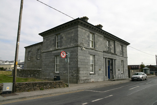 Loughrea Courthousecourt house · 1108 yd
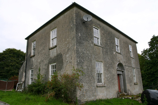 Glenvillecountry house · 1122 yd
 Barrack IslandIslet · 1130 yd
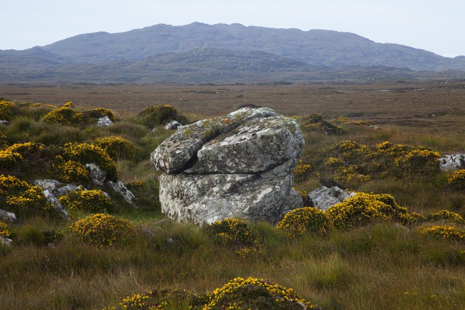 Mass-rock in CosmonaMass-rock · 1367 yd
 Long PointHeadland · 1.2 mi
 Site of Cloonoo CastleCastle, unclassified · 1.3 mi
 Raruddy Castle (in ruins)Castle, tower house · 1.6 mi
 Turoe StoneHeritage attraction · 4.2 mi
 Dartfield Horse MuseumHeritage attraction · 5.0 mi
 Scalpeen RockNamed rock · 5.1 mi