What is recorded here
Two rectangular moated sites join shoulders in wet Lodge pasture, their grassy rims still sharp after centuries of rain. The larger chamber sits northwest of its smaller companion, suggesting one household expanded rather than two strangers meeting. Cattle now walk across floors that may have held kitchens, halls or bedrooms for people whose names vanished before maps learned to draw them.
In improved, wet pasture, cut by land drains and watercourses, 120m E of a main watercourse, which also marks a townland boundary with Castlefarm. Moated site (LI032-280001-) is conjoined to NW. Not depicted on OSi historic maps. Monument identified by the Bruff aerial photographic survey in 1986 (Bruff 272.2: AP 5/2047) as a rectangular-shaped earthwork which is conjoined to a slightly larger rectangular-shaped earthwork [LI032-280001-] to NW. Upstanding monument is clearly visible as a rectangular-shaped area (35m NE-SW; 33m NW-SE) defined by a fosse, as seen on OSi orthoimage taken 2005-2012, on Digital Globe orthoimage taken 2011-2013 and on Google Earth orthoimage taken 25/03/2017.The second moated site (LI032-208001-) is clearly visible conjoined to NW.
See attached Google Earth orthoimage and Bruff aerial survey image labelled 272.2
Compiled by: Alison McQueen and Vera Rahilly
Date of upload: 25 November 2020
The monument record does not grant public access. Check the route and ask the landowner before entering private land.
- What survives
- Recorded monument
Places near here
 Enclosure in LodgeEnclosure · 605 yd
 BarrowBarrow, unclassified · 812 yd
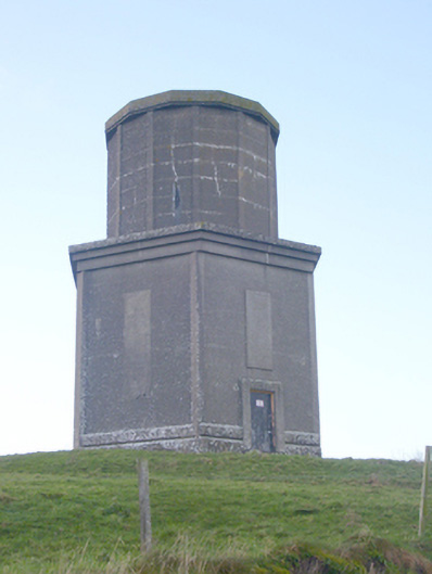 water towerwater tower · 882 yd
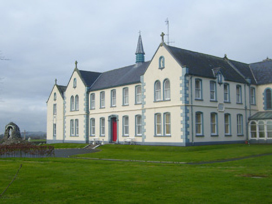 Presentation Conventconvent/nunnery · 1078 yd
 CastleCastle, motte · 1.4 mi
 Ballynamona Castle (Site of)Castle, unclassified · 1.7 mi
 Flat cemetery in Knockainy WestFlat cemetery · 1.7 mi
 Kilteely HillMountain / peak · 2.5 mi
 St. Patrick's WellSpring · 3.0 mi
 St Patrick's WellSpring · 3.9 mi
 Ballinvreena LoopVisitor information · 6.6 mi
 SlievereaghMountain / peak · 7.4 mi