What is recorded here
Fairy fort / earthen ringfort in Lissergloon is a fairy fort or earthen ringfort in Lissergloon, County Sligo, Ireland. The oval embanked area measured roughly 30 metres northwest to southeast and 40 metres northeast to southwest on the 1914 map. The southern half is now levelled, while the northern half remains defined by a densely overgrown earthen bank about 3 metres wide and 0.2 metres high.
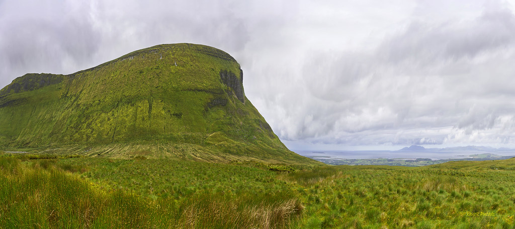
In rough grazing, close to the base of an E-facing slope. Indicated on the 1914 OS 6-inch map as an oval embanked area (c. 30m NW-SE; c. 40m NE-SW). The S half of the rath is now levelled and evident only as a slightly raised area while the N half is defined by a densely overgrown arc of earthen bank (Wth c. 3m; ext. H 0.2m). The interior slopes down to S.
The above description is derived from the published 'Archaeological Inventory of County Sligo' compiled by Ursula Egan, Elizabeth Byrne, Mary Sleeman with Sheila Ronan and Connie Murphy (Dublin Stationery Office, 2005).
Date of upload: 18 January 2008
The monument record does not grant public access. Check the route and ask the landowner before entering private land.
- What survives
- Recorded monument
Places near here
 Enclosure in LissergloonEnclosure · 178 yd
 IndicatedEnclosure · 623 yd
 Castle Neymoecountry house · 704 yd
 Ballysumaghan Ch. (in Ruins)Church · 1069 yd
 Drumcondra Castle (in Ruins)Castle, tower house · 1.1 mi
 Giants GraveArchaeological place · 1.4 mi
 CastleCastle, motte · 1.7 mi
 Field MapleField Maple · 3.1 mi
 SlishwoodWood · 3.3 mi
 Riverstown Folk ParkHeritage attraction · 3.7 mi
 Slishwood Island WestIslet · 3.9 mi
 Bunowen BayBay · 3.9 mi