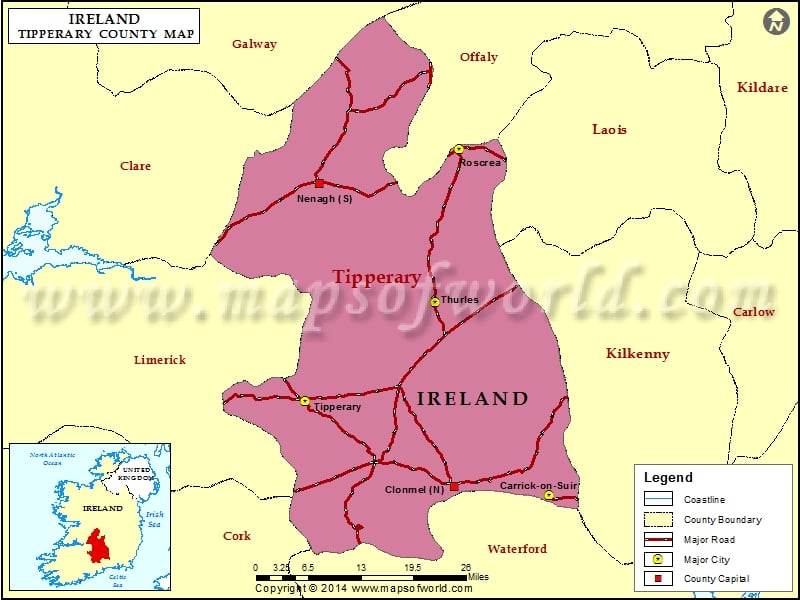
What is recorded here
Lissava is a fairy fort or earthen ringfort in Lissava, County Tipperary, Ireland. The roughly circular enclosure measures 38.8 metres north to south and 43.8 metres east to west on ground sloping gently eastward beneath a western hill brow. A broad bank with a crest 6.7 metres wide and a base 9.7 metres wide rises 1.9 metres externally. A flat-bottomed ditch 2.5 metres wide and 1 metre deep also defines the enclosure; it is best preserved on the west side and infilled from east to southeast. A causeway 7 metres wide crosses the west quadrant.
On ground sloping gently to the E in undulating terrain, just below brow of hill to W. Under pasture. Roughly circular enclosure (diam. 38.8m N-S; 43.8m E-W) defined by a broad bank (Wth 6.7m crest, 9.7m base; int. H 0.5m; ext. H 1.9m) sloping very gently towards the concave interior and wide, deep, flat-bottomed fosse (Wth 2.5m; D 1m). Scratching post has been erected near the centre of the interior. There is a causeway (Wth 7m) in the W quadrant. The inner face of the bank has been slightly eroded by cattle in the S quadrant. From E-SE the fosse has been infilled. The fosse is best preserved on the W side. There is evidence of lazy beds in the interior.
Compiled by: Jean Farrelly
Date of upload: 26 August 2011
The monument record does not grant public access. Check the route and ask the landowner before entering private land.
- What survives
- Recorded monument
Places near here
 Site of CastleCastle, unclassified · 223 yd
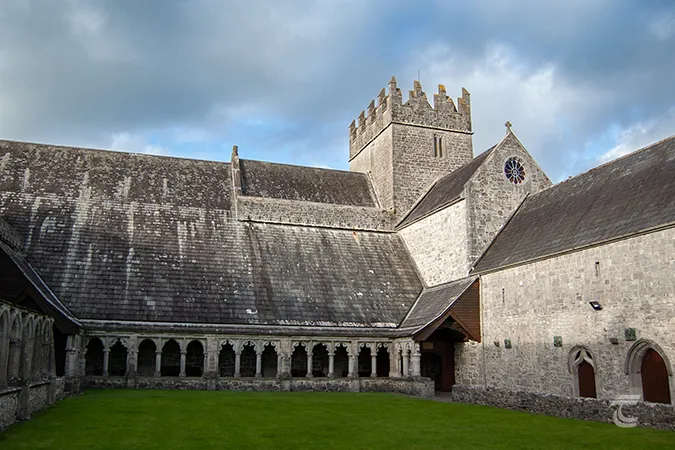 Enclosure in Caherabbey UpperEnclosure · 270 yd
 Carrigeen Castleprison/jail · 844 yd
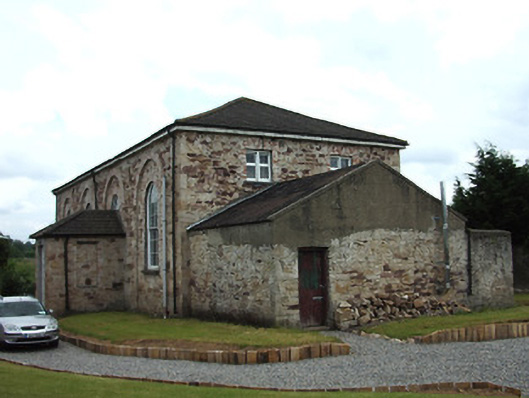 Cahir Presbyterian Churchmeeting house · 965 yd
 Holy WellHoly well · 1016 yd
 Siege of Cahir Castlesiege · 1047 yd
 Caher AbbeyHeritage attraction · 1117 ydCahir CastleHeritage attraction · 1234 yd
 Pedunculate OakPedunculate Oak · 1.2 mi
 European YewEuropean Yew · 1.6 mi
 Bawn in CloghabreedyBawn · 2.2 mi
 Slieveanard NE TopMountain / peak · 2.3 mi
Other information
Photo: Credit not shown in the picture search · Rights wording not checked; contact us if this picture should be removed