What is recorded here
Lisatunny is a fairy fort or earthen ringfort in Lissatunny, County Tipperary, Ireland. Its circular area measures 39 metres northeast to southwest on a north-facing slope. Three earthen banks and two intervening ditches define it, including a 6-metre middle bank and a 4.5-metre outer bank. The source records no visible entrance feature, although a 3-metre gap breaks the middle bank at southeast and a field bank crosses the site at west.
Situated on a N-facing slope in undulating terrain. A circular area (diam. 39m NE-SW), heavily overgrown with scrub, defined by three earthen banks with intervening fosses - an inner bank largely reduced to a scarp (H 1.22m), a fosse (Wth 9m; D 1.93m), a middle bank (Wth 6m; ext. H 2.4m), an outer fosse (Wth 5.4m; D 1.96m) and an outer bank (Wth 4.5m; ext. H 1.5m). No entrance feature visible, though a gap (Wth 3m) is broken through the middle bank at SE. A field bank transects the site at W.
The above description is derived from 'The Archaeological Inventory of County Tipperary. Vol. 1 - North Tipperary' compiled by Jean Farrelly and Caimin O'Brien (Dublin: Stationery Office, 2002). In certain instances the entries have been revised and updated in the light of recent research.
Date of upload/revision: 22 September 2008
The monument record does not grant public access. Check the route and ask the landowner before entering private land.
- What survives
- Recorded monument
Places near here
 LissatunnyArchaeological place · 25 yd
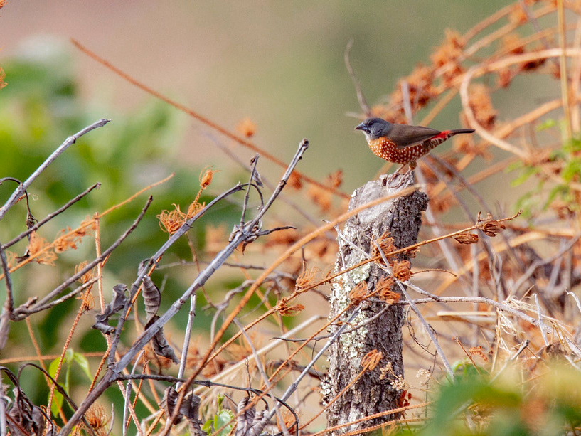 ToberabrahilHoly well · 697 yd
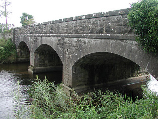 Tyone Bridgebridge · 1322 yd
 Tyone Br.Bridge · 1324 yd
 Gibbet HillMountain / peak · 1656 yd
 Lisbunny CastleCastle, hall-house · 1.4 mi
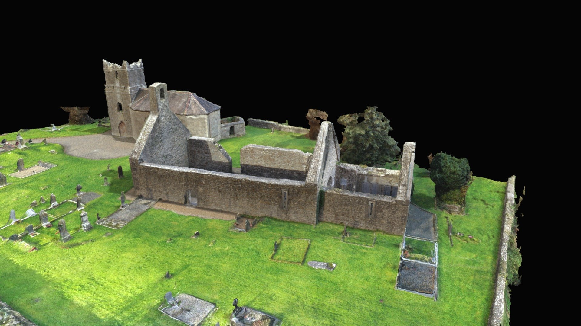 CastleCastle, Anglo-Norman masonry castle · 1.5 mi
 Old BarracksHeritage attraction · 1.7 mi
 Nenagh Heritage CentreMuseum · 1.8 mi
 James Devaney MemorialMemorial · 3.8 mi
 Sweet ChestnutSweet Chestnut · 3.8 mi
 Our Lady Assumed into HeavenMemorial · 4.4 mi
Other information
Photo: Credit not shown in the picture search · Rights wording not checked; contact us if this picture should be removed