What is recorded here
In pasture, on a ridge. A trapezoidal-shaped area (c. 80m E-W; c. 35m N-S) defined by two earthen banks and an external fosse (Wth 2m; D 0.5m). The inner (Wth 0.4m; H 0.35m) and outer (Wth 1.8m; int. H 0.5m; ext. H 0.5m) banks are c. 2m apart and the intervening area is crossed in places by short stretches of bank. A rath (SL026-099----) forms the NW corner of this area. This area is indicated on the 1838 OS 6-inch map as planted with trees and is likely to be an estate feature and date from the post-1700 AD period.
Compiled by: Archaeological Survey Unit, UCC with revisions by Patrick F. O'Donovan and Paul Walsh
Date of upload: 20 June 2011
Lisruntagh is a trapezoidal ringfort, likely dating to the early medieval period, characterized by double earthen banks and an external fosse. Local tradition may associate it with fairy lore, as suggested by the common Irish name element "Lis," often linked to otherworldly or supernatural sites.
The monument record does not grant public access. Check the route and ask the landowner before entering private land.
- What survives
- Recorded monument
Places near here
 IndicatedFairy fort / earthen ringfort · 57 yd
 LisruntaghFairy fort / earthen ringfort · 514 yd
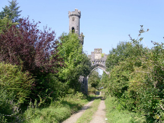 Markree Castlegate lodge · 1.0 mi
 Castle (Site of)Castle, unclassified · 1.1 mi
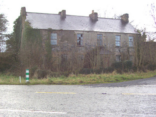 Toberscanavan Househouse · 1.2 mi
 James MorrisonMemorial · 2.0 mi
 Field MapleField Maple · 2.2 mi
 Behy Castle (in Ruins)Castle, tower house · 3.1 mi
 Riverstown Folk ParkHeritage attraction · 4.1 mi
 CroaghaunMountain / peak · 4.1 mi
 Giants GraveArchaeological place · 4.3 mi
 Tullaghan HillMountain / peak · 4.4 mi