What is recorded here
Quarrying and field banks have chewed the west and south edges of the Lisnagree ringfort, leaving a shallow thirty-four-metre circle in level Galway grassland. The remaining bank, external ditch and western causeway still outline a place where people once entered, lived and departed. What is missing has not vanished; it has scattered into soil, memory and the endless human tendency to take stones elsewhere.
In level grassland. Poorly preserved subcircular rath (E-W 34m, N-S 32m) defined by a bank and external fosse. Traces of a possible outer bank survive at NE. Quarrying has encroached upon the enclosing elements at WSW and from N to E, and a field bank cuts them at S. Entrance causeway at W.
The above description is derived from the published 'Archaeological Inventory of County Galway Vol. II - North Galway'. Compiled by Olive Alcock, Kathy de hÓra and Paul Gosling (Dublin: Stationery Office, 1999).
Date of upload: 05 August 2010
The monument record does not grant public access. Check the route and ask the landowner before entering private land.
- What survives
- Recorded monument
Places near here
 Quarry in CaltraQuarry · 309 yd
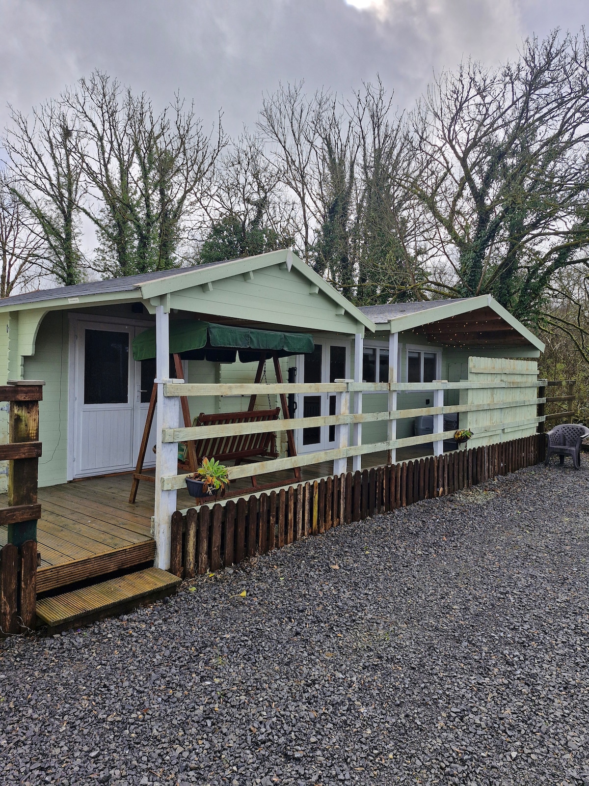 Enclosure in Greenville,lisnagreeEnclosure · 382 yd
 Enclosure in LisnagreeEnclosure · 719 yd
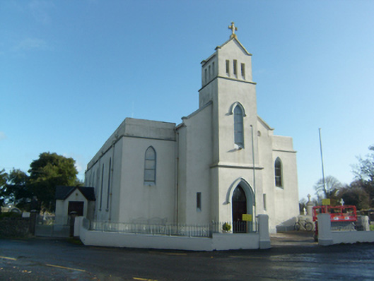 Saint Solan's Catholic Churchchurch/chapel · 901 yd
 Castle (Site of)Castle, unclassified · 1.3 mi
 Castle (in ruins)Castle, unclassified · 2.1 mi
 Mountbellew ForestForest · 3.0 mi
 Wych ElmWych Elm · 3.4 mi
 Ballinlass Eviction MemorialMemorial · 4.0 mi
 Kilconnell AbbeyHeritage attraction · 7.7 mi
 Mount MaryMountain / peak · 9.2 mi
 Sally IslandIslet · 10 mi