What is recorded here
Fairy fort / earthen ringfort in Lisnagree is a fairy fort or earthen ringfort in Lisnagree, County Westmeath, Ireland. The 1973 survey described it as a roughly circular area twenty-seven metres in diameter, enclosed by an inner bank, an intervening ditch, and a possible outer bank that may post-date the ringfort. This outer bank was disturbed by the dumping of field clearance stones, while the interior features a southeast-facing slope cut by old cultivation ridges.
Situated on a slight rise, in pasture. Depicted on the revised 1910 ed. OS 25-inch map as a roughly oval-shaped earthwork. Monument described in 1973 as a roughly circular-shaped area (diam. 27m) enclosed by an inner bank, an intervening fosse and a possible outer bank. The outer bank may post-date the ringfort and has been disturbed by dumping of field clearance stones. The interior has a SE-facing slope which is cut by old cultivation ridges. Monument is obscured by trees and scrub on Digital Globe aerial photography.
Compiled by Alison McQueen, Vera Rahilly and Caimin O’Brien.
Date of upload: 21 November 2019
The monument record does not grant public access. Check the route and ask the landowner before entering private land.
- What survives
- Recorded monument
Places near here
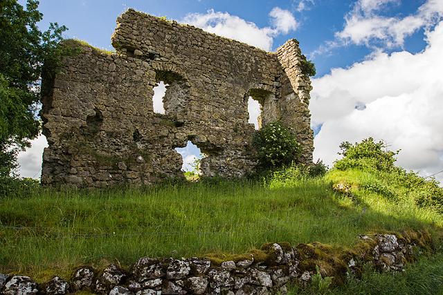 Laragh CastleCastle · 730 yd
 OutlinedFairy fort / earthen ringfort · 744 yd
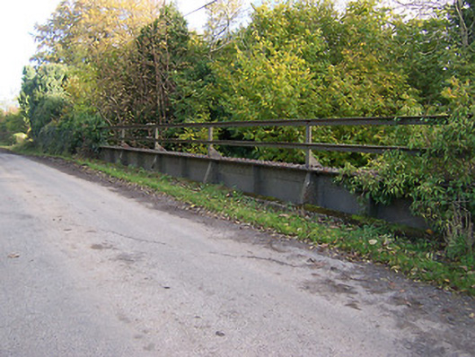 bridgebridge · 1304 yd
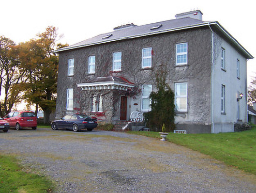 Streamstown Housecountry house · 1323 yd
 Partially outlinedFairy fort / earthen ringfort · 1430 yd
 Syonan CastleCastle · 1.2 mi
 KnockastiaMountain / peak · 1.8 mi
 Japanese pagoda treeJapanese pagoda tree · 2.2 mi
 Kilmalady HillMountain / peak · 3.6 mi
 ToberaskeenSpring · 5.1 mi
 Dún na Sí Heritage CentreMuseum · 6.0 mi
 Dún na SíMuseum · 6.1 mi