What is recorded here
Fairy fort / earthen ringfort in Lisnageenly is a fairy fort or earthen ringfort in Lisnageenly, County Tipperary, Ireland. Its raised 26-metre north-south circular area occupies the north-facing slope of an east-west upland ridge. A scarp 0.8 metres high defines it. The 2002 inventory records a shallow 1.5-metre external ditch best visible at northwest, no visible entrance feature and another ringfort to the southwest.
Situated on the N-facing slope of an E-W ridge in an upland area with a nearby ringfort (TN026-067) to the SW. A raised circular area (diam. 26m N-S) defined by a scarp (H 0.8m) with a shallow external fosse (Wth 1.5m) best visible at NW. No entrance feature visible.
The above description is derived from 'The Archaeological Inventory of County Tipperary. Vol. 1 - North Tipperary' compiled by Jean Farrelly and Caimin O'Brien (Dublin: Stationery Office, 2002). In certain instances the entries have been revised and updated in the light of recent research.
Date of upload/revision: 22 September 2008
The monument record does not grant public access. Check the route and ask the landowner before entering private land.
- What survives
- Recorded monument
Places near here
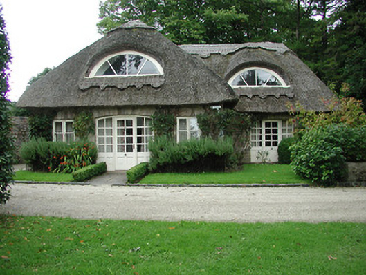 Kilboy Housegate lodge · 1189 yd
 Sweet ChestnutSweet Chestnut · 1211 yd
 Dolla Church (in Ruins)Church · 1454 yd
 Silvermines ViewpointViewpoint · 1668 yd
 Enclosure in Kilboy (kilmore Par., North Riding)Enclosure · 1.1 mi
 Our Lady Assumed into HeavenMemorial · 1.3 mi
 The MinerMemorial · 1.4 mi
 Kilmore Church (in Ruins), Grave Yd.Graveyard · 1.9 mi
 Silvermine Mountains E TopMountain / peak · 1.9 mi
 Dunalley Castle (in ruins)Castle, unclassified · 2.1 mi
 Site of Ballygown CastleCastle, unclassified · 2.2 mi
 Silvermine Mountains W TopMountain / peak · 2.6 mi