What is recorded here
No visible mound remains in Lisnabreeny, County Down. The name Rath still belongs to the place, carrying a shape that water, soil or forgetting has removed. What is missing is not the same as never having existed.
The official Northern Ireland record identifies this as RATH. Recorded period: E.CHRIST.. The official map point was placed at the centre of the recorded archaeological site from the source map reference.
The monument record does not grant public access. Check the route and ask the landowner before entering private land.
- What survives
- Recorded monument
Places near here
 ENCLOSURE (RATH?) in BallykeelENCLOSURE (RATH?) · 1253 yd
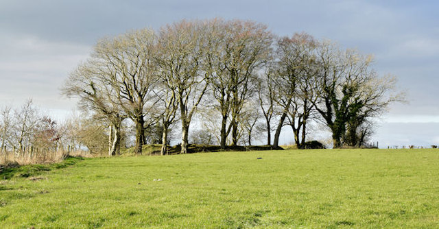 Lisnabreeny RathArchaeological place · 1338 yd
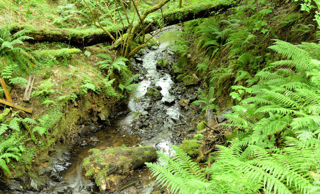 Cregagh GlenWood · 1.6 mi
 Lisnabreeney WaterfallWaterfall · 1.6 mi
 Conn O'Neill's Castle SiteFort · 1.8 mi
_parish_church,_Belfast_(August_2014)_-_geograph.org.uk_-_4107390.jpg?width=1280) Knockbreda Parish ChurchChurch · 1.8 mi
Knockbreda Parish ChurchChurch · 1.8 mi Highway to Health, CastlereaghWalking route · 2.2 mi
 Braniel HillMountain / peak · 2.2 mi
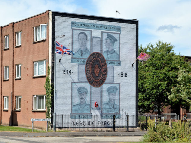 Victoria Crosses of the 36th Ulster DivisionMemorial · 2.3 mi
,_St_John's_Presbyterian_church,_Newtownbreda,_Belfast_(July_2017)_-_geograph.org.uk_-_5466032.jpg?width=1280) St. John's Presbyterian ChurchChurch · 2.3 mi
St. John's Presbyterian ChurchChurch · 2.3 mi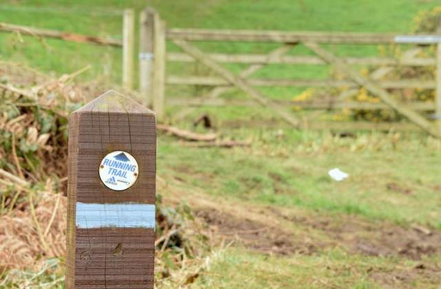 Lagan TrailWalking route · 2.3 mi
 Belvoir Park ForestForest · 2.3 mi