What is recorded here
The walled garden in Lismore (coshmore and Coshbride By.) is in County Waterford, Ireland. The 1989 survey recorded this structure, laid out in 1626 on an east-facing slope, as having intact walls with a thickness of approximately 0.75 metres and a height of approximately 3.5 metres. Towers at the northwest and southwest angles featured musket loops and wall-walks, while an elaborate gateway at the southeast angle led to the castle entrance.
Situated on an E-facing slope overlooking the W-E Blackwater River to the N, and attached to the S of Lismore Castle (WA021-019001-). It slopes down in a number of terraces to the S-N valley between the castle and Lismore Cathedral (WA021--019003-). The walled garden (dims. c. 100m N-S; c. 150m E-W) was laid out in 1626 and its walls are still intact (T c. 0.75m; H c. 3.5m). There are towers at the NW and SW angles, each featuring musket loops and wall-walks, and there is an elaborate gateway (WA021-019021-) at the SE angle that leads to the gateway of the castle (WA021-019001-). (Bradley et al. 1989, vol. 1, 80-1).
Bradley, J., Halpin, A. and King, H. (1989) Urban archaeology Survey of Waterford City and County, 2 vols. Unpublished report commissioned by the Office of Public Works.
Compiled by: Michael Moore
Date of upload: 21 March 2011
The monument record does not grant public access. Check the route and ask the landowner before entering private land.
- What survives
- Recorded monument
Places near here
 Delavay's magnoliaDelavay's magnolia · 84 yd
 fountainfountain · 129 yd
 Holy well in Lismore (coshmore and Coshbride By.)Holy well · 146 yd
 European YewEuropean Yew · 164 yd
 Lismore CastleOfficially recorded historic building · 175 yd
 St. Carthaghs WellHoly well · 195 yd
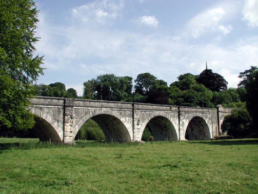 Lismore Bridgebridge · 231 yd
 Ambrose Power MemorialMemorial · 336 yd
 Lady Louisa's WalkWalking route · 383 yd
 Cottage IslandIslet · 427 yd
 LismoreMemorial · 1020 yd
 Ballysaggartmore TowersHeritage attraction · 1.8 mi