What is recorded here
Indicated is a fairy fort in County Limerick, Ireland, preserving a circular earth-and-stone chamber where human life may have turned, hidden or raged before memory faded. Its bank, scarp, western gap and concrete piers still mark the shape of that lost activity. The concrete trough south of centre suggests the fort may have served people, animals or ritual before becoming a legend. New trees circle the site like witnesses, holding the shape steady while the old purpose retreats into mystery.
On gently rise, in grounds of Newcastle West golf course. Roughly circular area (26.3m N-S; 27.8m E-W) enclosed by earth-and-stone bank (int. H 0.95m; ext. H 1.65m) SW->E and defined by scarped edge (H 1.05m; Wth 4m) E->SW. Gap (Wth 3.15m) at W flanked by concrete piers. Single similar pier at E between junction of bank and scarp. Interior, under pasture, slopes down geltly to S. Just S-of-centre is concrete trough (6.6m N-S; 10.9m E-W), now filled with earth and stone. Deciduous trees have recently been planted around site, c. 2m outside enclosing element.
Compiled by: Denis Power
Date of upload: 26 August 2011
Lisgordan is a likely early-medieval ringfort, characterised by a circular enclosure with a substantial earth-and-stone bank and scarped ditch. Local folklore, though sparse, associates such sites with fairy dwellings, and the name "Lisgordan" may derive from a legendary or historical figure connected to the area.
The monument record does not grant public access. Check the route and ask the landowner before entering private land.
- What survives
- Recorded monument
Places near here
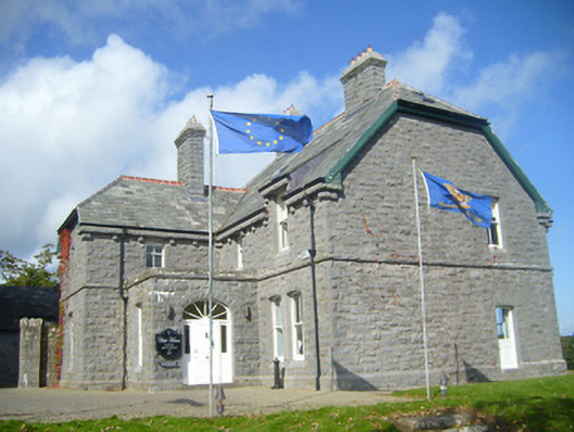 Rathgoonan Housecountry house · 246 yd
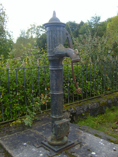 water pumpwater pump · 298 yd
 Mound in Ballyegny BegMound · 321 yd
 IndicatedFairy fort / earthen ringfort · 651 yd
 Castle (in ruins)Castle, tower house · 1115 yd
 St. Luke's WellSpring · 1170 yd
 CahermoyleCastle, unclassified · 1416 yd
 St. Kieran's WellSpring · 1.8 mi
 European ashEuropean ash · 4.4 mi
 Limerick GreenwayWalking route · 5.9 mi
 Gammarel PointHeadland · 7.2 mi
 Monterey CypressMonterey Cypress · 7.4 mi