
What is recorded here
Indicated is a half-destroyed fairy fort where cattle and fences cut through an ancient earth bank. It still holds a quarter-acre shape on Pat Murphy's land, marked more by memory and damage than by pride. What was enclosed for people or spirits has been opened again by ordinary life, leaving a circle that can be imagined but no longer fully believed.
At W side of laneway and immediately S of farmhouse. Roughly circular, heavily overgrown area (23.5m NE-SW) defined by earthen bank to E, S and W. Field fence running E-W truncates N side of enclosure. Bank (H 1.4m) best preserved S->WNW. Deep drainage channel dug along base of outer bank face to W. Numerous breaks in bank worn down by cattle. Fort '1/4 acre....used as haggard' on Pat Murphy's land (Broker 1937, 50).
The above description is derived from the published 'Archaeological Inventory of County Cork. Volume 3: Mid Cork' (Dublin: Stationery Office, 1997). In certain instances the entries have been revised and updated in the light of recent research.
Date of upload/revision: 14 January 2009
The monument record does not grant public access. Check the route and ask the landowner before entering private land.
- What survives
- Recorded monument
Places near here
 Fulacht FiadhFulacht fia · 458 yd
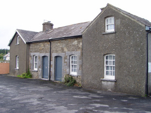 Millstreet Railway Stationworker's house · 1387 yd
 LisabramFairy fort / earthen ringfort · 1752 yd
 Dromsicane Castle (in Ruins)Bawn · 1.1 mi
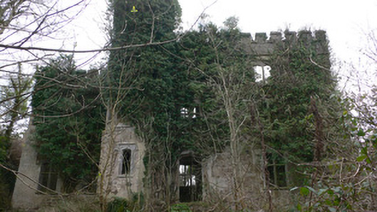 Duarrigle Castlecountry house · 1.2 mi
 Millstreet Museum & Tourist Information CentreMuseum · 1.7 mi
 Claragh Loop (Trailhead 99)Visitor information · 1.7 mi
 Millstreet Tourist InformationVisitor information · 1.7 mi
 Castle and TurretCastle, tower house · 1.8 mi
 Claragh MountainMountain / peak · 2.2 mi
 RowanRowan · 2.4 mi
 CurracahillMountain / peak · 3.6 mi
Other information
Photo: Credit not shown in the picture search · Rights wording not checked; contact us if this picture should be removed