What is recorded here
Indicated was a quarter-acre fairy fort on Cornelius O'Sullivan's land, mapped as a circular enclosure in 1842 before disappearing entirely. It sat above a sharp fall to a small stream, perhaps hiding people from rain or simply waiting for the right moon. The earth took back its shape, leaving only the memory of a boundary that once held something precious.
In pasture, above sharp fall of ground down to small stream on E side. Depicted as hachured circular enclosure (diam. c. 25m) on 1842 OS 6-inch map; indicated as semicircular curve (S->N) in field fence on 1904 and 1936 OS 6-inch maps. Levelled; no visible surface trace. According to Broker (1937, 49) on Cornelius O'Sullivan's land is 'fort 1/4 acre'.
The above description is derived from the published 'Archaeological Inventory of County Cork. Volume 3: Mid Cork' (Dublin: Stationery Office, 1997). In certain instances the entries have been revised and updated in the light of recent research.
Date of upload/revision: 14 January 2009
The monument record does not grant public access. Check the route and ask the landowner before entering private land.
- What survives
- Recorded monument
Places near here
 IndicatedFairy fort / earthen ringfort · 701 yd
 Fulacht FiadhFulacht fia · 1097 yd
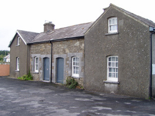 Millstreet Railway Stationworker's house · 1131 yd
 Dromsicane Castle (in Ruins)Bawn · 1.1 mi
 Inchileigh Bridgebridge · 1.1 mi
 Millstreet Museum & Tourist Information CentreMuseum · 1.3 mi
 Claragh Loop (Trailhead 99)Visitor information · 1.3 mi
 Millstreet Tourist InformationVisitor information · 1.3 mi
 Castle and TurretCastle, tower house · 1.6 mi
 Claragh MountainMountain / peak · 1.8 mi
 RowanRowan · 2.0 mi
 CurracahillMountain / peak · 3.4 mi