What is recorded here
Fairy forts are often called raths, which means ringforts. They were ordinary defensive or domestic sites in the past, but folk memory recast them as fairy dwellings. That is why many were left untouched: people believed the fairies still lived inside.
In pasture, on gentle NE-facing slope. Depicted as hachured circular enclosure (diam. c. 25m) on 1842 OS 6-inch map. Arc (C c. 16m) formed by earthen bank (int. H 0.45m) survives SSW->W. Bank incorporated into field fence system; drainage ditch dug at base along W side. Fort 'one quarter acre, half levelled' on Pat Murphy's land (Broker 1937, 50).
The above description is derived from the published 'Archaeological Inventory of County Cork. Volume 3: Mid Cork' (Dublin: Stationery Office, 1997). In certain instances the entries have been revised and updated in the light of recent research.
Date of upload/revision: 14 January 2009
The monument record does not grant public access. Check the route and ask the landowner before entering private land.
- What survives
- Recorded monument
Places near here
 IndicatedFairy fort / earthen ringfort · 210 yd
 Fulacht FiadhFulacht fia · 455 yd
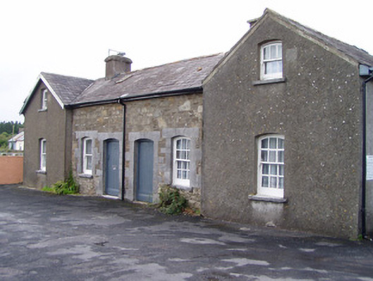 Millstreet Railway Stationworker's house · 1589 yd
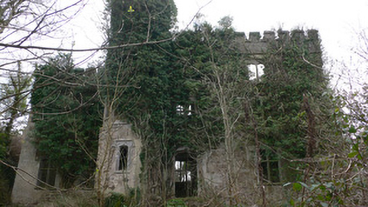 Duarrigle Castlecountry house · 1.1 mi
 Dromsicane Castle (in Ruins)Bawn · 1.2 mi
 Millstreet Museum & Tourist Information CentreMuseum · 1.8 mi
 Claragh Loop (Trailhead 99)Visitor information · 1.8 mi
 Millstreet Tourist InformationVisitor information · 1.8 mi
 Castle and TurretCastle, tower house · 1.9 mi
 Claragh MountainMountain / peak · 2.2 mi
 RowanRowan · 2.5 mi
 CurracahillMountain / peak · 3.7 mi