What is recorded here
Marianne stopped her car on the gravel track and stared at the red soil. The survey marked the place as a lost fort, but her body knew it as a chamber where forgotten things waited to be remembered. She stepped outside, not to prove the marker wrong, but to give the chamber one more witness before leaving it alone.
The following description is derived from both the published 'Archaeological Inventory of County Louth' (Dublin: Stationery Office, 1986) and the 'Archaeological Survey of County Louth' (Dublin: Stationery Office, 1991). In certain instances the entries have been revised and updated in the light of recent research.
Date of upload/revision: 17 July 2007
OS Letters refer to destroyed 'fort' in the townland, presumably at the site marked 'Liscorry' on 1835 ed. of OS 6-inch map.
The monument record does not grant public access. Check the route and ask the landowner before entering private land.
- What survives
- Recorded monument
Places near here
 Font in KillineerFont · 1345 yd
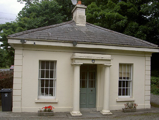 Killineer Housegate lodge · 1476 yd
 CastleCastle, tower house · 1723 yd
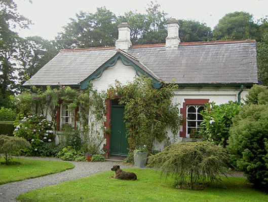 Listoke Housegate lodge · 1.0 mi
 Tobershowney (Covered)Holy well · 1.1 mi
 Yellow IslandIslet · 2.5 mi
 Grove IslandIslet · 2.6 mi
 MonasterboiceEarly monastic site · 2.7 mi
 Muiredach's High CrossHeritage attraction · 2.7 mi
 Battle of the Boyne Visitor CentreMuseum · 2.9 mi
 Battle of the BoyneMajor battlefield · 3.0 mi
 European YewEuropean Yew · 3.0 mi