What is recorded here
Fairy fort / earthen ringfort in Liscolvan is a fairy fort or earthen ringfort in Liscolvan, County Roscommon, Ireland. It occupies an east-facing slope at the east end of a low east-west drumlin ridge. A barely discernible scarp defines a circular grass-covered area about twenty-four to twenty-five metres across, while another rath stands one hundred and forty metres to the west-southwest.
On an E-facing slope at the E end of a low E-W drumlin ridge. Circular grass-covered area (diam. c. 24-25m) defined by a barely discernible scarp (H 0.2-0.7m). There is no visible fosse or entrance. Rath (RO011-126----) is c. 140m to the WSW.
Compiled by: Michael Moore
Date of upload: 24 August 2010
The monument record does not grant public access. Check the route and ask the landowner before entering private land.
- What survives
- Recorded monument
Places near here
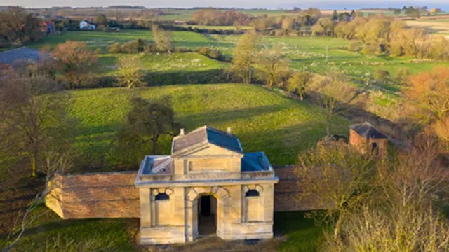 Embanked enclosureFairy fort / earthen ringfort · 357 yd
 Kilbride Church (in Ruins)Church · 906 yd
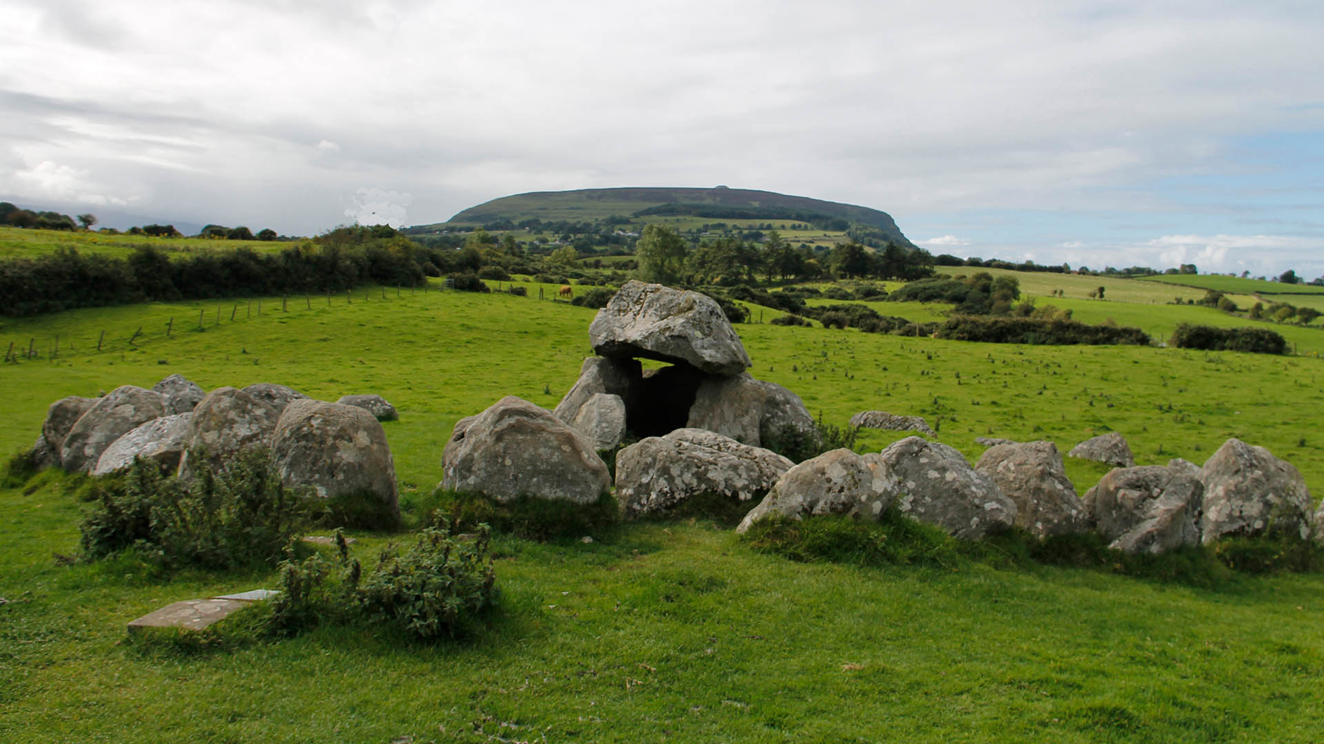 IndicatedFairy fort / earthen ringfort · 914 yd
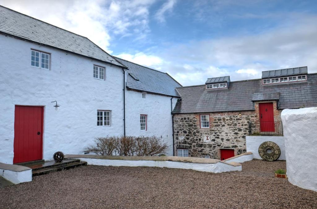 Old Corn KilnKiln, corn-drying · 1664 yd
 Site of Dangan CastleCastle, unclassified · 1.1 mi
 Mullinashee WoodForest · 2.1 mi
 Maguire's WoodForest · 2.4 mi
 Patrick Gill Memorial Plaque (IRA)Monument · 2.7 mi
 Robert Strawbridge MemorialMemorial · 2.7 mi
 Hat IslandIslet · 3.3 mi
 Moon RiverHeritage attraction · 3.4 mi
 InishmoylinIslet · 3.4 mi