What is recorded here
No visible trace remains on the ridge now, but a circular enclosure once stood at its northeast end, large enough for a small life or a fierce argument. The land has taken back its own shape, erasing the wall and leaving only the memory of a boundary. What was built there has returned to soil, waiting for someone to walk the ridge and imagine the shape of what is gone.
On NE end of a ridge. Marked on 1st ed. of OS 6-inch map as a circular enclosure (D c. 25m). No visible surface trace survives.
The above description is derived from the published 'Archaeological Inventory of County Galway Vol. I - West Galway'. Compiled by Paul Gosling (Dublin: Stationery Office, 1993).
Date of upload: 05 August 2010
The monument record does not grant public access. Check the route and ask the landowner before entering private land.
- What survives
- Recorded monument
Places near here
 TobermacduaghHoly well · 1721 yd
 Enclosure in Áit Tí SeonacEnclosure · 1.5 mi
 Séadchomhartha Athar Ó Grióbhtha [Father Griffin Monument]monument · 2.0 mi
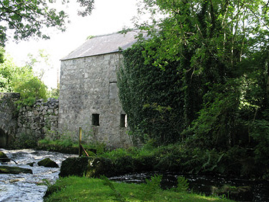 mill (water)mill (water) · 2.0 mi
 The Wet WoodWood · 2.6 mi
 The North WoodWood · 2.7 mi
 Galway Cakery CaféHeritage attraction · 3.0 mi
 Site of Barna CastleCastle, unclassified · 3.0 mi
 CastleCastle, unclassified · 3.1 mi
 Connemara MarbleHeritage attraction · 3.2 mi
 Mags BoreenBeach / strand · 3.3 mi
 Silver StrandBeach / strand · 3.5 mi
Other information
Photo: Credit not shown in the picture search · Rights wording not checked; contact us if this picture should be removed