What is recorded here
Thirty metres across on a boggy hilltop in Lickeen East, the faint ring dropped into reeds and shadow while people watched the horizon. It is no wonder local lore called it a fairy fort, because the boundary still resists easy measurement. Human hands may have cut the ditch or stacked the earth, yet the completed shape belongs more to dreaming than property.
Near the summit of a hill, on a NNE-facing slope in an area of marginal and boggy pasture with traces of boreens, structures and lazy-beds all around and with good views in all directions. Hachured on the 1840 OS 6-inch map and partially hachured on the 1916 ed. Listed as ‘enclosure’ in the RMP (1996).
A subcircular rath (31.2m E-W; 30m N-S) defined by a faint scarp and a fosse (Wth 2-2.4m; D 0.4-0.6m). The scarp has been removed in the E and is lowered to field level in the NE where there may be an entrance (Wth 6m). The interior slopes to the N and is overgrown with reeds with visible lazy-beds in the W quadrant. Earthen field boundaries in the E and S give the false impression of an outer bank.
Compiled by: Mary Tunney and Lynda McCormack
Date of upload: 25 May 2022
A fairy fort / earthen ringfort in Lickeen East is a circular earthen enclosure typical of early-medieval Ireland, likely dating to between the 5th and 10th centuries. It is associated with local folklore surrounding fairies and other supernatural beings, common in such sites, though specific legends for this location are not widely recorded.
This remains an important historical record, but the official description says the monument is no longer visible or has been destroyed. The monument record does not grant public access. Check the route and ask the landowner before entering private land.
- What survives
- No visible remains or recorded as destroyed
Places near here
 Lickeen FortFairy fort / earthen ringfort · 347 yd
 Enclosure in KilcarraghEnclosure · 961 yd
 CastleCastle, unclassified · 1296 yd
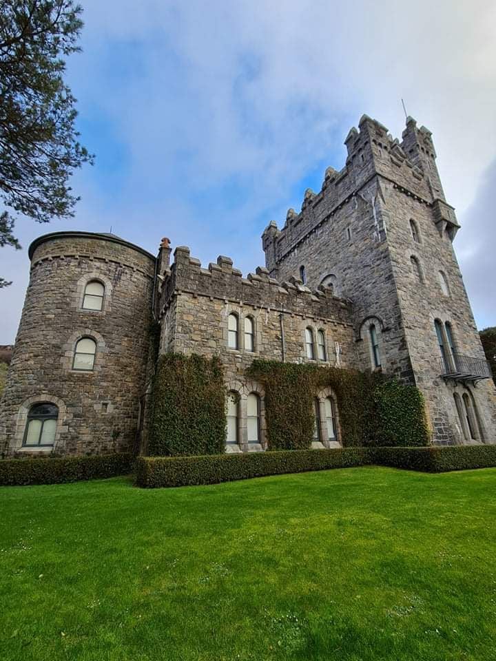 Tullagh Castle (in ruins)Castle, unclassified · 1.0 mi
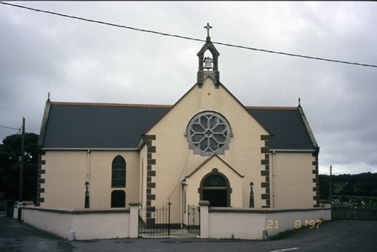 Saint Fachanan's Catholic Churchchurch/chapel · 1.4 mi
 Burren Centre KilfenoraVisitor information · 1.4 mi
 Saint Fachtnan's Cathedralcathedral · 1.5 mi
 High CrossHeritage attraction · 1.5 mi
 Ballyteigue Nature ReserveNature reserve · 4.3 mi
 Kilmanahn GraveyardRuins · 4.4 mi
 Famine MemorialMemorial · 4.4 mi
 Fergus River CaveCave · 4.4 mi