
What is recorded here
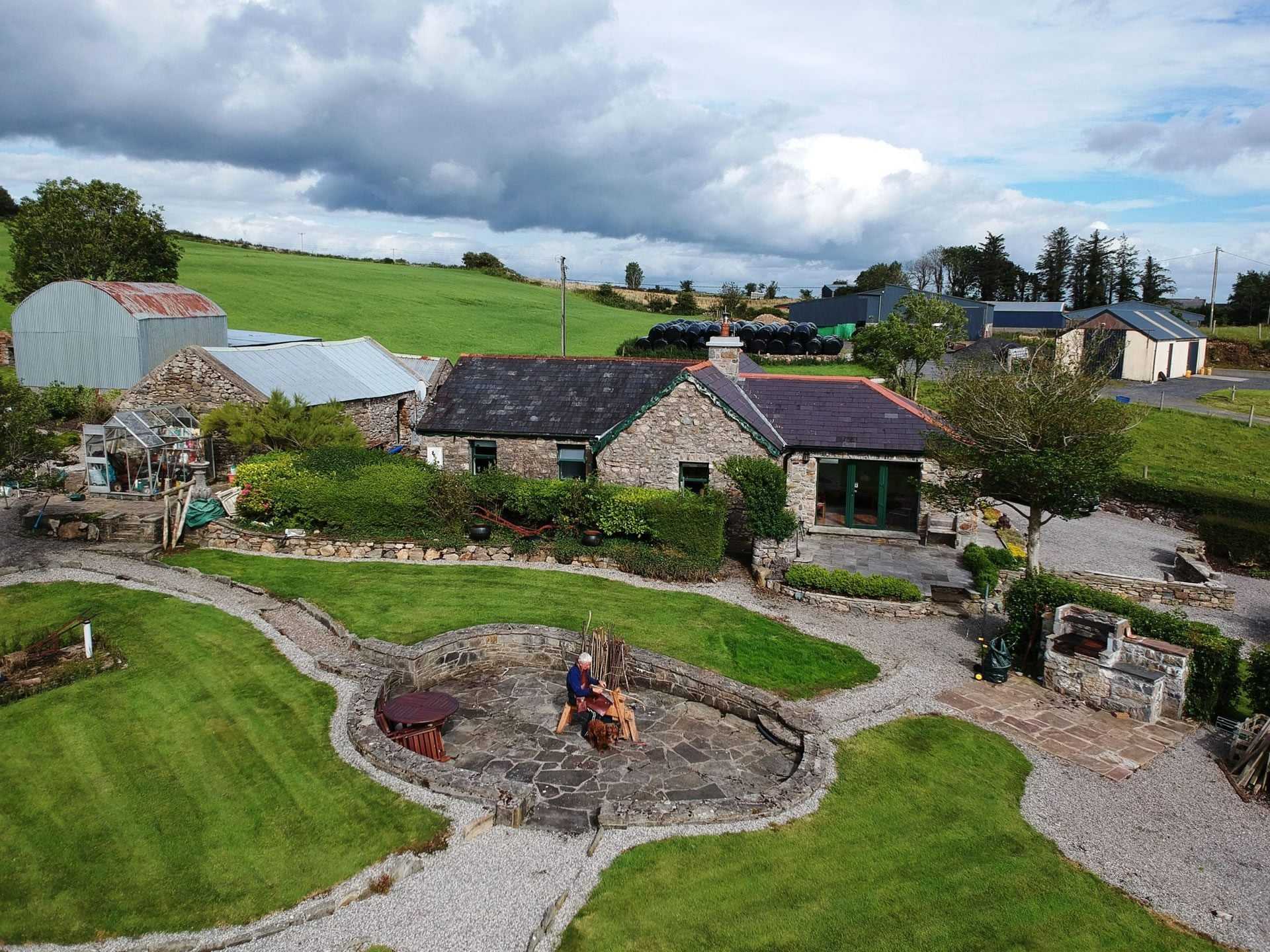
Indicated is a vanished ringfort on a narrow ridge between two Mayo lakes, mapped in 1837 but now hidden beneath a modern garden. The fort measured thirty-six metres across, large enough for a small community, yet no stone or bank remains visible. A house stands where the entrance may have faced the water, turning an ancient defensible place into an ordinary residence. The lake still reflects the sky at the spot where people once watched the horizon.
Towards the E end of a low E-W pasture ridge which forms an isthmus between Derryhick Lough, which is visible c. 240m to the NW, and Levallinree Lough, which is also visible c. 330m to the SW. Recorded on the first edition (1837) of the OS 6-inch map where it is depicted as an oval-shaped ringfort (est. max diams. c. 36m N-S; c. 31m E-W). While there is no visible surface trace of the monument, subsurface deposits may survive at the location which is now partially occupied by a modern dwelling house and garden.
Compiled by: Gearóid Conroy and Leo Morahan
Date of upload: 31-10-2025
The monument record does not grant public access. Check the route and ask the landowner before entering private land.
- What survives
- Recorded monument
Places near here
 Ritual siteRitual site, holy/saint's stone · 721 yd
 Enclosure in DerryhickEnclosure · 991 yd
 Church in Cunnagher SouthChurch · 1725 yd
 Castle in RuinsCastle, unclassified · 1.6 mi
 Park Bridgebridge · 1.9 mi
 Castle (in Ruins)Castle, motte · 2.5 mi
 National Museum of Ireland, Country LifeMuseum · 2.9 mi
 Oak WoodWood · 3.0 mi
 Sunken GardenWood · 3.0 mi
 Michael DavittMemorial · 3.2 mi
 FarbreigaMountain / peak · 3.6 mi
 Lough CullinViewpoint · 4.4 mi
Other information
Photo: Credit not shown in the picture search · Rights wording not checked; contact us if this picture should be removed