What is recorded here
Carn marked a busy Galway road in 1838, but human ambition erased it before modern cameras arrived. House building and road works stripped its stones, reducing ancient memory to soil and silence. What remained was not even a ruin but a absence, proving that progress often feeds on forgetting.
Located on a N-facing slope on outcropping craggy rock, immediately to the S of a bend in the N59 Clifden-Westport road. Indicated and named ‘Carn’ on the 1838 edition of the OS 6-inch map; on the 1898 resurvey the words ‘Site of’ are appended. On inspection in May 1982 the cairn was overgrown with vegetation. Traces of a possible arc of it (L 4m; Wth 2m; H 0.5m) were visible on the W side but it was unclear whether this was natural or not. The cairn had been robbed considerably, probably when the house to its E was built. It was probably also disturbed when the road was laid down. On a re-inspection in November 1983 no visible surface traces of it were visible. Another cairn (GA023-054----) lies c. 65m to the SW.
Compiled by: Olive Alcock
Date of upload: 3 January 2019
Neolithic passage tomb; dates to the early to middle Neolithic period (c. 3500–2500 BCE). Its location on a prominent craggy slope suggests it was a significant ceremonial or burial site within the local prehistoric landscape.
The monument record does not grant public access. Check the route and ask the landowner before entering private land.
- What survives
- Recorded monument
Places near here
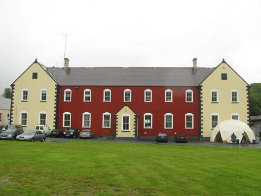 collegecollege · 409 yd
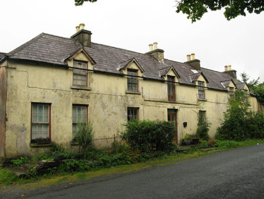 hotelhotel · 455 yd
 Connemara National Park Visitor CentreHeritage attraction · 607 yd
 Connemara National ParkNational park · 616 yd
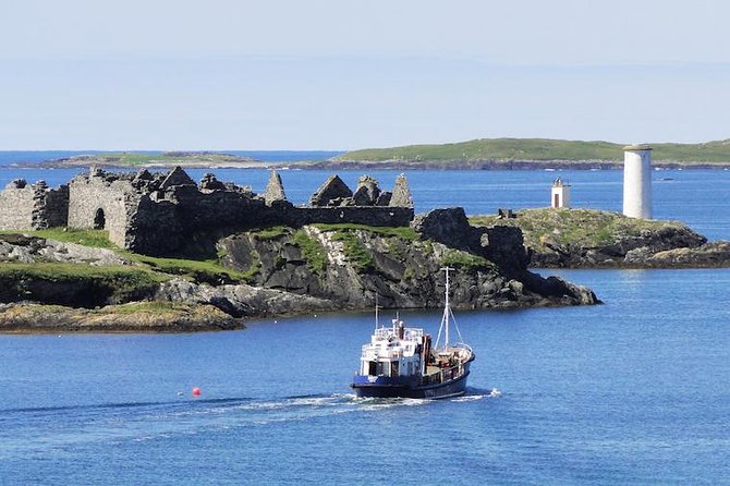 Holy well in Dawros MoreHoly well · 1164 yd
 Field system in Baunoge (ballynahinch By.)Field system · 1317 yd
 RoeillaunIslet · 1.8 mi
 Cabbage treeCabbage tree · 2.0 mi
 Monterey PineMonterey Pine · 2.6 mi
 DerrylahanMountain / peak · 2.7 mi
 Cnoc BreacMountain / peak · 2.7 mi
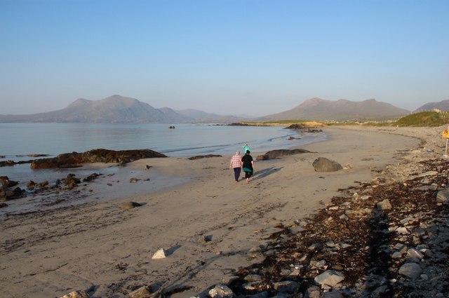 Renvyle BeachBeach / strand · 4.0 mi