
What is recorded here
Castle John stands beside Lough Scur in County Leitrim, joining three crannogs and a causeway as one of the lake’s protected features. The water has touched human life since the New Stone Age, and the castle still marks that old boundary between land and lake. Its name suggests John, but no clearer story survives in the facts provided.
Castle John is recorded as a castle in County Leitrim. Its open map record supplies this location and any linked names or public references.
Built in the 13th century by the MacDermotts of Leitrim, Castle John is remembered as a significant medieval stronghold in western Ireland, reflecting the power and territorial divisions of Gaelic chieftains during the Anglo-Norman period.
Places near here
 Prison (in ruins)Ruins · 162 yd
 Otter IslandIsland · 217 yd
 Whiskey IslandIslet · 238 yd
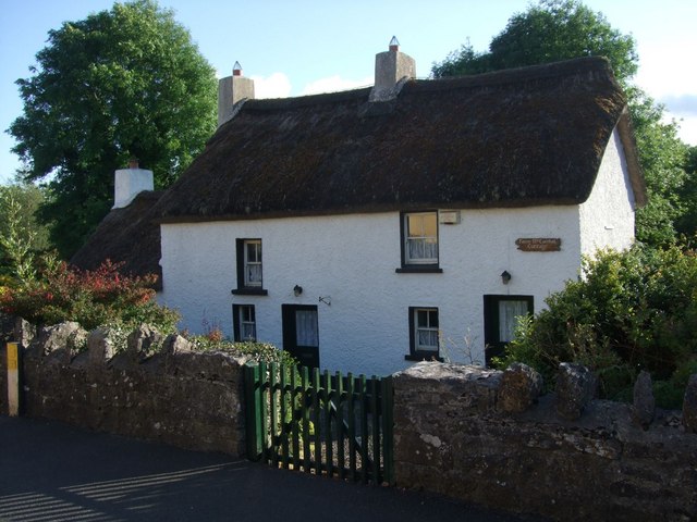 Fionn McCumhail Cottagehouse · 892 yd
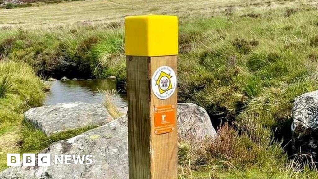 IndicatedFairy fort / stone ringfort · 1577 yd
 Finn McCool's MonumentArchaeological place · 1.0 mi
 CastleforeCastle, tower house · 1.7 mi
 CastleCastle, tower house · 2.5 mi
 Sheemore Ambush MemorialMonument · 3.1 mi
 Leabaidh DermotCave · 3.4 mi
 Rocking StoneNamed rock · 4.6 mi
 Sliabh an IarainnMountain / peak · 4.8 mi
Other information
Photo: Credit not shown · Licence wording not shown