What is recorded here
Lear stands beside a narrow field where the stone has watched rain, fire and feet for centuries. Its weight resists every storm that crosses County Derry, while people come and go like shadows along its base. The girl who lived nearby may have pressed her palm to its warm surface at noon, believing the rock returned some of her own heat. That much is not written, but the stone still feels like a participant rather than a thing being watched.
The official Northern Ireland record identifies this as STANDING STONE. Recorded period: UNCERTAIN; PREHISTORIC. The official map point was placed at the centre of the recorded archaeological site from the source map reference.
The monument record does not grant public access. Check the route and ask the landowner before entering private land.
- What survives
- Recorded monument
Places near here
 Learmount CastleCountry House · 537 yd
 Learmount WoodWood · 660 yd
 ENCLOSURE? in LearENCLOSURE? · 1.5 mi
 ENCLOSURE in CarnanreaghENCLOSURE · 1.7 mi
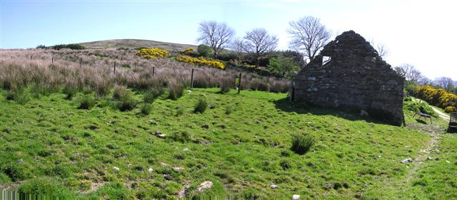 CrockdooishMountain / peak · 2.8 mi
 Banagher Presbyterian ChurchChurch · 3.1 mi
 Ballydonegan SweathouseVisitor information · 3.3 mi
 MULTIPERIOD CHURCH & GRAVEYARD (Early Christain-C18th) in CumberMULTIPERIOD CHURCH & GRAVEYARD (Early Christain-C18th) · 3.6 mi
 Claudy bombingbomb attack · 3.8 mi
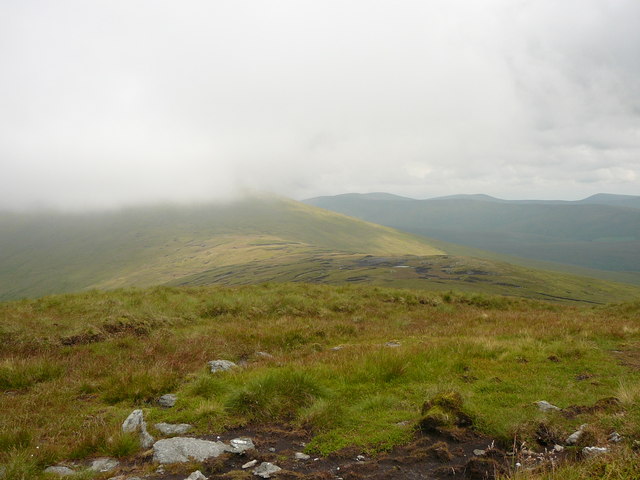 Dart MountainMountain / peak · 4.0 mi
 Sperrin MountainsMountain range · 4.5 mi
 Sperrins landscapeHeritage attraction · 4.6 mi