What is recorded here
National monument No. 247. Situated on the S facing slope of Knockadoon over looking Lough Gur in an area rich in prehistoric monuments. Prehistoric enclosure annotated as a 'stone circle' (LI032-022028-) with house site (LI032-022011-) 85m to NNW, standing stone in SE quadrant of prehistoric enclosure (LI032-022020-) also annotated as a 'Stone Circle' on current ed. OS 6-inch map.
Described by O'Kelly (1944, 25) as following; 'This circle consists of two concentric rings of contiguous or almost contiguous stones, the annular space between the rings being filled with rubble. None of the stones are more than 4' [1.2m] high and most of them are much less. The overall diameter is 100' [30m]. In the SE quadrant of the interior is a small standing stone 3' 2" [0.95m] high by 1' 7" [0.5m] by 11" [0.3m], and is 15' 6" [4.7m] from the nearest point of the inner circle of stones. The entrance is not recognisable. The natural rock outcrop where it was convenient, has been used to form parts of the circumference. It was partially excavated by Ó Ríordáin, the portions examined being around the standing stone. Surrounding the stone was a rude circle of small boulders inside which were found the bones of an infant whose age was from 6 to 8 years. Some distance to the W and inside a similar circle, a cist was found. In this were adult and infant bones. There were no associated objects on which the structure could be dated but as it is similar in many ways to the next circle to be described (circle R), which has been shown to be Bronze Age, it may be presumed that circle J belongs to the same period'.
Compiled by: Caimin O'Brien
Date of upload: 21 May 2018
Leagaun – Loughgur is likely from the Neolithic or Bronze Age, given its association with a stone circle and house, suggesting ritual or domestic use. It may be linked to the broader ceremonial landscape of Lough Gur, known for its rich prehistoric monuments.
The monument record does not grant public access. Check the route and ask the landowner before entering private land.
- What survives
- Recorded monument
Places near here
 Stone CircleEnclosure · 12 yd
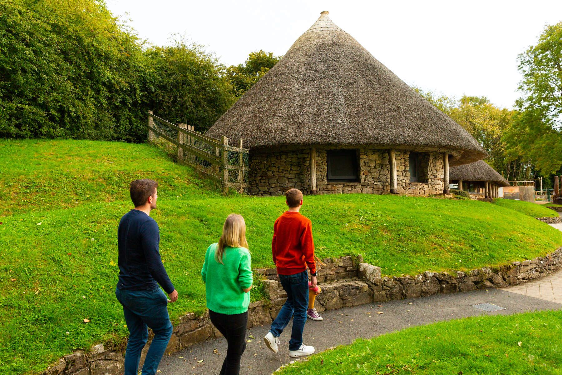 Hut site in LoughgurHut site · 106 yd
 Black Castle (in ruins)Castle, tower house · 275 yd
 RoadRoad, road/trackway · 297 yd
 New Church (in ruins)Church · 637 yd
 Pedunculate OakPedunculate Oak · 645 yd
 Lough Gur Heritage CentreVisitor information · 964 yd
 The SpectaclesVisitor information · 1019 yd
 Grange Stone CircleArchaeological place · 1166 yd
 Lough GurVisitor information · 1229 yd
 Bawn in Grange (smallcounty By.)Bawn · 1629 yd
 Glen BogForest · 1.9 mi