What is recorded here
Leacht Chill Chathail was an eight-sided flagstone, three metres wide, standing at a Galway road junction until widening work removed it. The old survey named it Cahill na can Dherg, but human memory has erased even that much. The road widened, the stone vanished, and the junction forgot the shape it once marked.
At a road junction on W side of the Galway-Tuam road, c. 210m NE of a church (GA057-085001-). Indicated on OS Fair Plan as a small rectangular roadside recess and named 'Monument' and 'Cahill na can Dherg' in Gothic script. On 1st ed. of OS 6-inch map, it is shown as a circular dot and labelled simply as 'Monument' in Roman script. By the time of 3rd ed. (1933), it has been renamed 'Leacht Chill Chathail' but no location is indicated. According to local information, it was 'an eight-sided flagstone' c. 3m in diameter. It was removed during road-widening work. No visible surface trace survives.
The above description is derived from the published 'Archaeological Inventory of County Galway Vol. II - North Galway'. Compiled by Olive Alcock, Kathy de hÓra and Paul Gosling (Dublin: Stationery Office, 1999).
Date of upload: 05 August 2010
A portal dolmen dating to the Neolithic period. Its significance lies in its association with early megalithic funerary traditions in the region.
The monument record does not grant public access. Check the route and ask the landowner before entering private land.
- What survives
- Recorded monument
Places near here
 St. Cathaldus Church (in ruins)Church · 227 yd
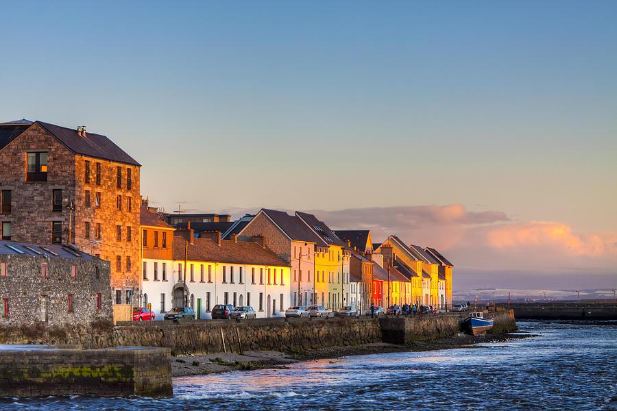 CaheravoleyFairy fort / ringfort · 988 yd
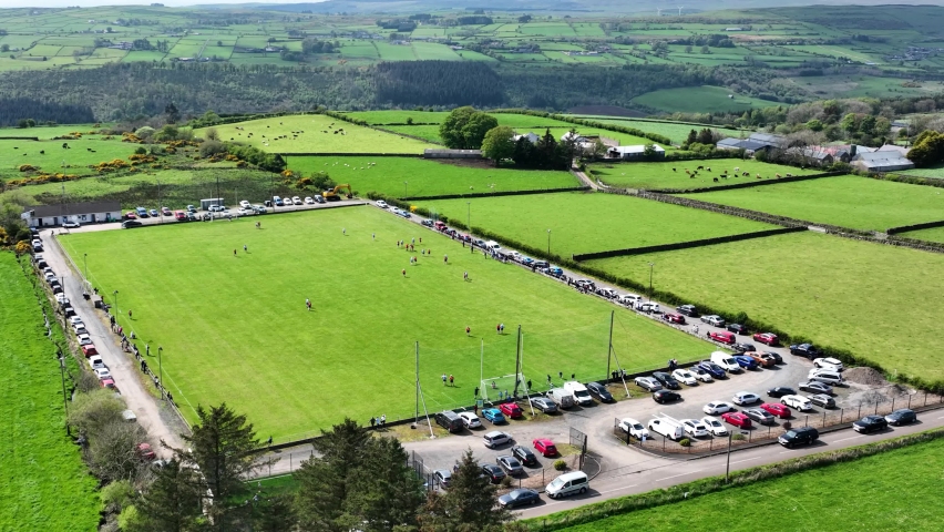 Field system in AnballyField system · 1316 yd
 Cregboyne FortBawn · 1541 yd
 Castle (in ruins)Castle, tower house · 1.0 mi
 Bawnmore Houseoutbuilding · 2.3 mi
 European BeechEuropean Beech · 3.0 mi
 Cregg Castle DemesneForest · 3.0 mi
 Kilcoona Round TowerHeritage attraction · 5.6 mi
 Ballinduff BayBay · 6.2 mi
 Oileán an AoilIsland · 7.8 mi
 Oileán an BhreathnaighIslet · 7.9 mi