What is recorded here
On level ground. Marked on 3rd ed. of OS 6-inch map (1920) as a circular enclosure (D c. 50m ext.) cut by the td. boundary at WNW and NNE. No visible surface trace survives.
The above description is derived from the published 'Archaeological Inventory of County Galway Vol. II - North Galway'. Compiled by Olive Alcock, Kathy de hÓra and Paul Gosling (Dublin: Stationery Office, 1999).
Date of upload: 05 August 2010
The monument record does not grant public access. Check the route and ask the landowner before entering private land.
- What survives
- Recorded monument
Places near here
 Enclosure in CluidrevaghEnclosure · 658 yd
 IndicatedFairy fort / stone ringfort · 1094 yd
 Castlehacket National Schoolschool · 1.0 mi
 Site of CastleCastle, unclassified · 1.6 mi
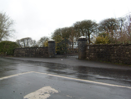 Cahermorris Housedemesne walls/gates/railings · 1.8 mi
 Cregboyne FortBawn · 2.3 mi
 KnockmaaWood · 2.6 mi
 Kilcoona Round TowerHeritage attraction · 3.0 mi
 Cregg Castle DemesneForest · 4.1 mi
 Ballinduff BayBay · 4.6 mi
 Mass RockNamed rock · 5.9 mi
 Walsh's IslandIslet · 6.5 mi