What is recorded here
On the SE side of a large marshy pool, bordered by a small knoll. A mound (L c. 6m; H c. 1m) of burnt stone and charcoal is evident on the W side of the knoll. The burnt material is exposed due to erosion by cattle. A possible fulacht fia (SL019-218001-) lies c. 10m to WSW and another (SL019-236----) lies c. 40m to E.
The above description is derived from the published 'Archaeological Inventory of County Sligo' compiled by Ursula Egan, Elizabeth Byrne, Mary Sleeman with Sheila Ronan and Connie Murphy (Dublin Stationery Office, 2005).
Date of upload: 18 January 2008
The monument record does not grant public access. Check the route and ask the landowner before entering private land.
- What survives
- Recorded monument
Places near here
 IndicatedEnclosure · 369 yd
 Enclosure in LarkhillEnclosure · 375 yd
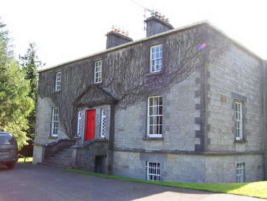 Toberfeckin Houserectory/glebe/vicarage/curate's house · 815 yd
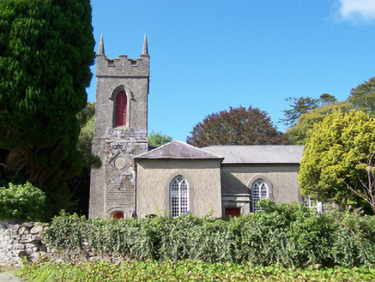 Christ Church (Dromard)church/chapel · 1254 yd
 DoomoreMountain / peak · 1.3 mi
 Derinch PointHeadland · 1.3 mi
 Bawn in Tanrego WestBawn · 1.3 mi
 RinnatalleenHeadland · 1.6 mi
 European ashEuropean ash · 1.7 mi
 Giant's GraveArchaeological place · 2.1 mi
 Tullaghan HillMountain / peak · 2.2 mi
 Lahanacappul IslandIslet · 2.3 mi