What is recorded here
Eight square rooms still stand guard at the narrow throat where the Shannon dives into Lough Ree, preserving the exact crossing Barnewell forced ferrymen to answer before sailing. The water crowded the stones, carrying trade, invasion and royal command through a doorway no wider than a boat oar. Men may have listened for paddles in the dark, certain that every shadow crossing the green foam belonged either to the King or his deadliest enemy.
At the NW end of Lanesborough town (LF017-003----), at a strategic crossing point across the river Shannon where it flows into the NE end of Lough Ree. This fortification was probably built on the site of or incorporated the remains of an earlier castle (LF017-003002-). It is recorded that Sir Patrick Barnewell built a ‘fair and strong fort and house’ in the late 16th or early 17th century (Cal. S.P. Ire., 1611-1614, 51). In 1616 Barnewell was granted the right to operate a ‘ferry over the Shannon, from the town of Beallaleege [county Roscommon] to the King’s fort in Longford co.’ provided that the ‘ferrymen and boats from time to time to be at the disposal and under the command of the constable or chief officer of the fort' (Cal. pat. rolls Ire., Jas I, 304). The fortification is depicted as a rectangular-shaped bawn on an early 17th-century map of Rathcline barony (BL Cotton MS Augustus I.i.48). In 1620 it was in a ruinous condition (Cal. pat. rolls Ire., Jas I, 482). The Down Survey map (1655-6) of Rathcline barony depicts it as standing opposite ‘Ballyleage Castle [RO037-004----] in Connought’ (NLI MS 716). It was described in 1682 as ‘an antient Fort built 8 Square is Garrisened and is the King’s’ (Gillespie and Moran 1991, 208). Not visible at ground level.
Compiled by Caimin O'Brien
Date of upload: 26 March 2012
The monument record does not grant public access. Check the route and ask the landowner before entering private land.
- What survives
- Recorded monument
Places near here
 Bridge in LanesboroughBridge · 74 yd
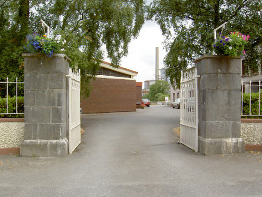 gates/railings/wallsgates/railings/walls · 81 yd
 Commons North WalkVisitor information · 371 yd
 Wild birdsVisitor information · 913 yd
 Ballyclare IslandIslet · 1532 yd
 White Sand WoodWood · 1.1 mi
 Rathcline CastleBawn · 1.5 mi
 Cross in Glebe (rathcline By., Rathcline Ed)Cross · 2.1 mi
 IndicatedFairy fort / earthen ringfort · 2.1 mi
 FerrinchIslet · 2.9 mi
 Slieve BawnMountain / peak · 4.5 mi
 Doughill ForestForest · 4.9 mi