What is recorded here
In a thicket of overgrowth at the narrow W side of a pasture field. It is located at a break of slope on elevated ground, overlooking an expanse of lowlying, poorly drained pasture to SW, with undulating pasture to W and NW.
A circular enclosure (diam. c. 20m), with a ring of trees outside the perimeter, is shown on the 1838 OS 6-inch map; it is not shown on later map editions.
The remains consist of a circular, flat-topped stony mound (6.3m NW–SE; c. 6m NE–SW) defined by a stony scarp (H 0.55 at E, 0.8–1m at W), which retains a slight internal lip in parts N–NE. Hawthorn trees grow around the perimeter. The mound is difficult to examine due to overgrowth, and its nature is unclear. There is a rath (MA071-028----) c. 100m to SE.
Compiled by: Jane O’Shaughnessy
Date of upload: 24 September 2021
The monument record does not grant public access. Check the route and ask the landowner before entering private land.
- What survives
- Recorded monument
Places near here
 IndicatedFairy fort / earthen ringfort · 755 yd
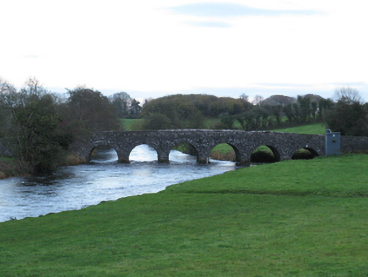 Scarrownageeragh Bridgebridge · 776 yd
 TemplerowuckChurch · 1.1 mi
 Grave YardGraveyard · 1.4 mi
 Shonagawna Castle in RuinsCastle, unclassified · 1.6 mi
 Castle in ruinsCastle, tower house · 1.7 mi
 Michael DavittMemorial · 3.1 mi
 Thorn CaveCave · 3.7 mi
 Youth Memorial GardenMemorial · 4.2 mi
 Hennigan's Heritage CentreHeritage attraction · 4.2 mi
 HawthornHawthorn · 4.4 mi
 Brabazon WoodsForest · 4.5 mi