
What is recorded here
In pasture, straddling a rise overlooking the Gweestion River 30m to SW.
Raised oval area or platform (22.6m NE–SW; 35.8m NW-SE) defined by an earthen scarp (H 1.35m at NE, 2.8m at SW).
The external face of the scarp, which is markedly vertical, is enhanced by the natural fall of ground on the SW side. At SW−W the scarp drops to a low terrace (Wth 3-4m) which appears to be a natural feature. There is a low area or gap (Wth 2.4m) in the scarp at the ESE which most likely marks the original entrance.
There is a pronounced slope down from the NW quadrant to E and SE, which gives the rath a slightly domed profile on the NE–SW axis.
The rath scarp is thickly ringed with hazel trees; the interior is grassy. The base of the rise immediately to NW of the rath has been quarried out.
There is a rath (MA071-019----) 175m to N.
Compiled by: Jane O’Shaughnessy
Date of upload: 25 June 2021
The monument record does not grant public access. Check the route and ask the landowner before entering private land.
- What survives
- Recorded monument
Places near here
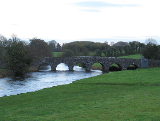 Scarrownageeragh Bridgebridge · 773 yd
 Barleyhill Housefarm house · 1.1 mi
 Round TowerRound tower · 1.2 mi
 Enclosure in Clooneen (gallen By.)Enclosure · 1.2 mi
 Castle in ruinsCastle, tower house · 1.5 mi
 Shonagawna Castle in RuinsCastle, unclassified · 1.9 mi
 Michael DavittMemorial · 3.2 mi
 Thorn CaveCave · 3.4 mi
 Youth Memorial GardenMemorial · 4.2 mi
 Hennigan's Heritage CentreHeritage attraction · 4.5 mi
 Brabazon WoodsForest · 4.5 mi
 HawthornHawthorn · 4.6 mi
Other information
Photo: Credit not shown in the picture search · Rights wording not checked; contact us if this picture should be removed